2021 Map of Tripp
USGS Topo · Published 2021About this map
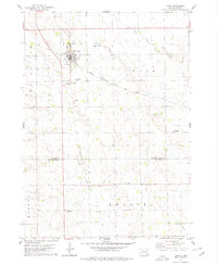
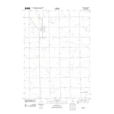
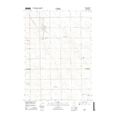
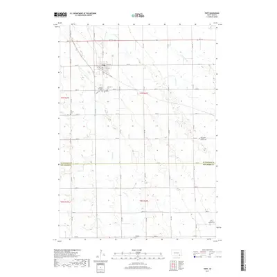
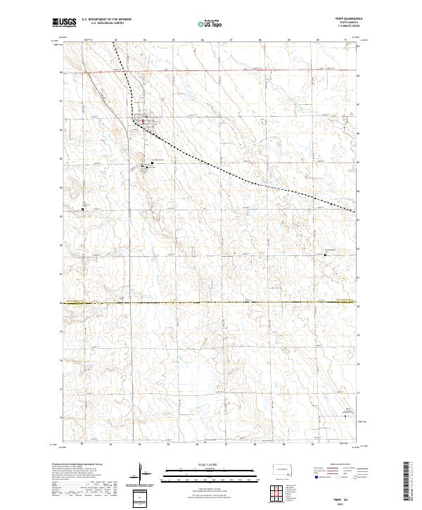
The town of Tripp serves as the central hub of this agricultural landscape in southeastern South Dakota, situated near the boundary where Hutchinson Co Bon Homme Co meet. The map reveals a high density of small, community-based burial grounds, many associated with specific denominations, such as the Zion Lutheran Cem and the Friedens Reformed Cem. These sites, along with others like the Hoffnungstal Cem and Saints Cyril and Mehodius Cem, provide a rich resource for genealogists researching the immigrant heritage and early settlement patterns of the region.
Find a feature on this map
37 named features on this map. Tap any name to fly to it.
Don’t see what you’re looking for? This feature index may not catch every label — zoom into the map to look around manually.
Map Details
Editions of this 2021 Tripp Map
This is the sole edition of this map. No revisions or reprints were ever made.
Historical Maps of Tripp Through Time
5 maps found