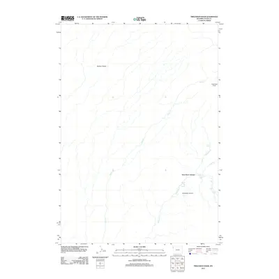
2012 Map of Trischman Knob
USGS Topo · Published 2012About this map
Three River Junction serves as the hydrological anchor for this remote Wyoming wilderness, where the Bechler River and its numerous tributaries converge. The terrain is defined by the broad expanse of the Madison Plateau, which drops away into a dramatic canyon system characterized by an extraordinary concentration of named waterfalls and geothermal activity. Hikers and surveyors of the early 21st century would find interest in the proximity of Bechler River Hot Springs to the striking Batchelder Column landmark. The intricate drainage network includes Ouzel Cr, Phillips Fork, and Gregg Fork, each contributing to the river system. Notable vertical drops such as Albright Falls, Wahhi Falls, and Sluiceway Falls are meticulously mapped, illustrating the sharp changes in elevation near Trischman Knob and throughout the canyon floor.
Find a feature on this map
17 named features on this map. Tap any name to fly to it.
Don’t see what you’re looking for? This feature index may not catch every label — zoom into the map to look around manually.
Map Details
Editions of this 2012 Trischman Knob Map
This is the sole edition of this map. No revisions or reprints were ever made.
Other maps of this area

1886 · Shoshone
USGS Topo · 1:125,000

1888 · Shoshone
USGS Topo · 1:125,000

1895 · Shoshone
USGS Topo · 1:125,000

1901 · Shoshone
USGS Topo · 1:125,000

1908 · Shoshone
USGS Topo · 1:125,000

1911 · Shoshone
USGS Topo · 1:125,000

1955 · Ashton
USGS Topo · 1:250,000

1956 · Old Faithful
USGS Topo · 1:62,500

1956 · Grassy Lake Reservoir
USGS Topo · 1:62,500

1957 · Warm River Butte
USGS Topo · 1:62,500