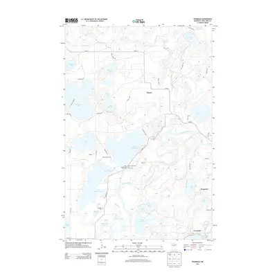
2013 Map of Trommald
USGS Topo · Published 2013About this map
Mississippi River and Pine River headwaters converge in this lake-heavy portion of Crow Wing County, where the iron-mining legacy of the Cuyuna Range meets a landscape defined by water and recreation. The settlements of Manganese and Trommald anchor the southeastern corner, while the central portion of the map is dominated by Upper Mission Lake and Lower Mission Lake. These water bodies are flanked by seasonal destinations such as Sunset Bay Resort and Campground and Mission Beach Resort and Campground, illustrating the 21st-century shift toward tourism.
Find a feature on this map
58 named features on this map. Tap any name to fly to it.
Don’t see what you’re looking for? This feature index may not catch every label — zoom into the map to look around manually.
Map Details
Editions of this 2013 Trommald Map
This is the sole edition of this map. No revisions or reprints were ever made.
Other maps of this area

1912 · Deerwood
USGS Topo · 1:62,500

1913 · Cuyuna
USGS Topo · 1:62,500

1914 · Deerwood
USGS Topo · 1:62,500

1915 · Cuyuna
USGS Topo · 1:62,500

1915 · Brainerd
USGS Topo · 1:62,500

1918 · Brainerd
USGS Topo · 1:62,500

1953 · Duluth
USGS Topo · 1:250,000

1953 · Brainerd
USGS Topo · 1:250,000

1957 · Brainerd
USGS Topo · 1:250,000

1958 · Brainerd
USGS Topo · 1:250,000