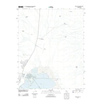
2012 Map of Trona East
USGS Topo · Published 2012About this map
Searles Lake and the industrial landscape of the Mojave Desert define this 2012 topographic survey of the area east of Trona. The map reveals the extensive evaporating ponds and extraction infrastructure of Borax Flat, where the region's long history of mineral harvesting continues. Residential pockets like Pioneer Point and Valley Wells are visible alongside the grid of local streets, including Telescope Ave and Athol St, providing a clear record of local settlement.
Find a feature on this map
31 named features on this map. Tap any name to fly to it.
Don’t see what you’re looking for? This feature index may not catch every label — zoom into the map to look around manually.
Map Details
Editions of this 2012 Trona East Map
This is the sole edition of this map. No revisions or reprints were ever made.
Other maps of this area

1915 · Searles Lake
USGS Topo · 1:250,000

1947 · Trona
USGS Topo · 1:250,000

1948 · Trona
USGS Topo · 1:250,000

1949 · Trona
USGS Topo · 1:62,500

1949 · Searles Lake
USGS Topo · 1:62,500

1950 · Searles Lake
USGS Topo · 1:62,500

1950 · Trona
USGS Topo · 1:62,500

1950 · Manly Peak
USGS Topo · 1:62,500

1950 · Wingate Pass
USGS Topo · 1:62,500

1951 · Wingate Pass
USGS Topo · 1:62,500