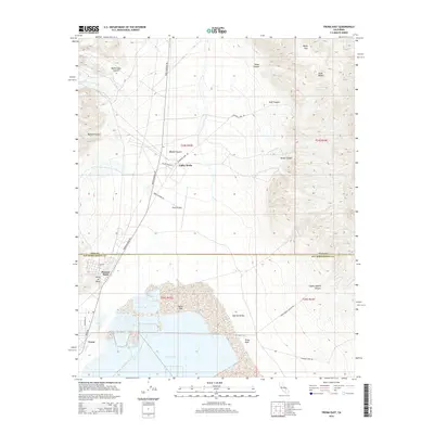
2015 Map of Trona East
USGS Topo · Published 2015About this map
Searles Lake and its surrounding mineral-rich basin define this part of the Mojave Desert along the boundary of Inyo and San Bernardino Counties. The map details the industrial and residential settlement at Trona, centered around the dry lake bed's commercial operations. To the north, the terrain transitions into the steep elevations of the Slate Range, where dramatic landmarks like Manly Pass and Goff Canyon cut through the arid landscape.
Find a feature on this map
33 named features on this map. Tap any name to fly to it.
Don’t see what you’re looking for? This feature index may not catch every label — zoom into the map to look around manually.
Map Details
Editions of this 2015 Trona East Map
This is the sole edition of this map. No revisions or reprints were ever made.
Other maps of this area

1915 · Searles Lake
USGS Topo · 1:250,000

1947 · Trona
USGS Topo · 1:250,000

1948 · Trona
USGS Topo · 1:250,000

1949 · Trona
USGS Topo · 1:62,500

1949 · Searles Lake
USGS Topo · 1:62,500

1950 · Searles Lake
USGS Topo · 1:62,500

1950 · Trona
USGS Topo · 1:62,500

1950 · Manly Peak
USGS Topo · 1:62,500

1950 · Wingate Pass
USGS Topo · 1:62,500

1951 · Wingate Pass
USGS Topo · 1:62,500