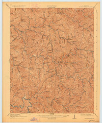
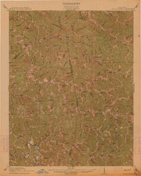
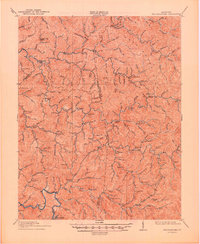
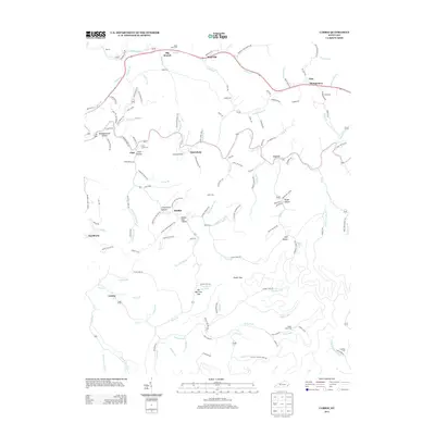
1914 Map of Troublesome
USGS Topo · Published 1927About this map
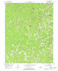
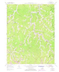
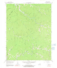
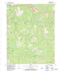
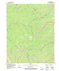
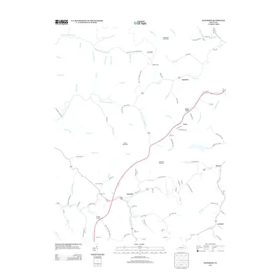
Troublesome Creek and its many winding forks dominate this terrain in the heart of eastern Kentucky, where the boundaries of Breathitt, Knott, and Perry counties meet. Surveyed in 1911, the map reveals a landscape defined by an incredibly dense network of rural schools, such as Fugate Fork School, Canny School, and Balls Fork School, which served the isolated communities found at nearly every hollow and creek junction. Small settlements like Emmalena, Dwarf, and Noble are connected by narrow trails following the waterways. Notable landmarks including Potato Knob and Lost Mtn rise above the intricate drainage patterns of Buckhorn Creek and Quicksand Creek. The abundance of numbered institutions like School No 11 and School No 12 highlights the localized nature of life in the Cumberland Plateau before modern road networks reached these deep Appalachian valleys.
Find a feature on this map
99 named features on this map. Tap any name to fly to it.
Don’t see what you’re looking for? This feature index may not catch every label — zoom into the map to look around manually.
Map Details
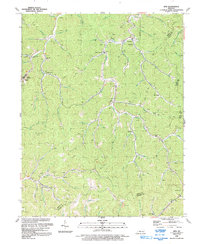
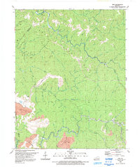
Editions of this 1914 Troublesome Map
3 editions found
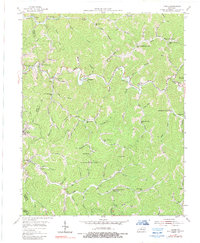
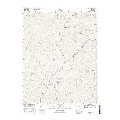
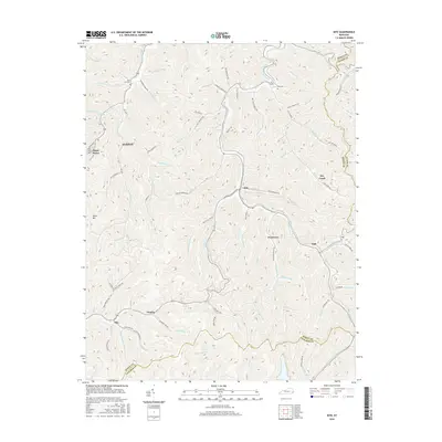
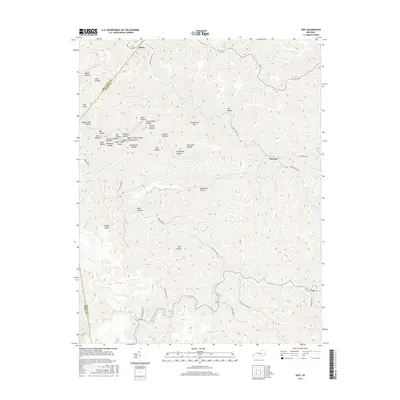
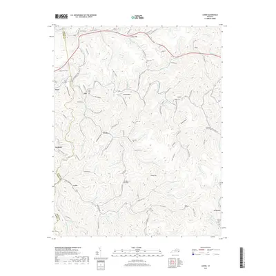
Historical Maps of Hazard Through Time
29 maps found
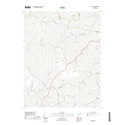
1914 Troublesome
Knott County, KY
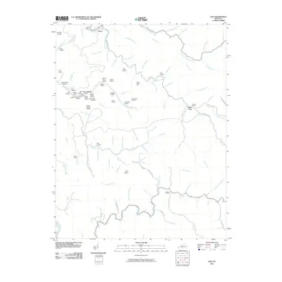
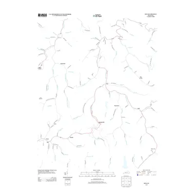
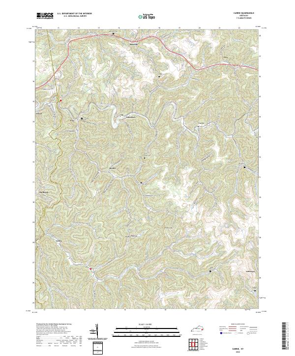
1954 Carrie
Knott County, KY
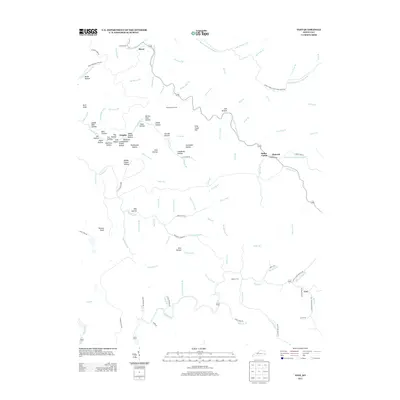
1954 Handshoe
Knott County, KY
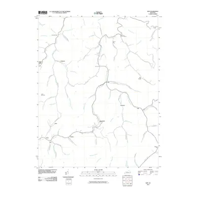
1954 Kite
Knott County, KY
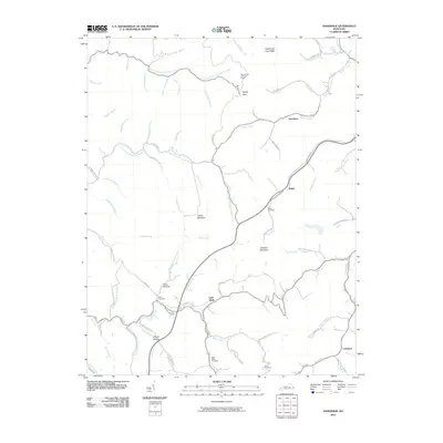
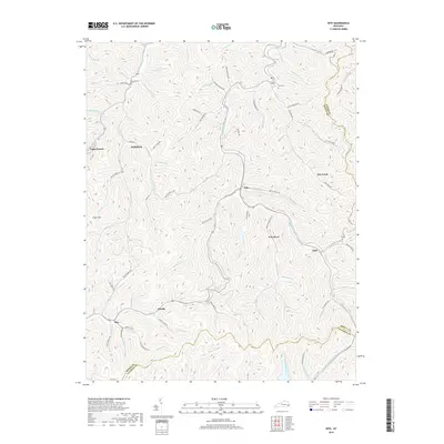
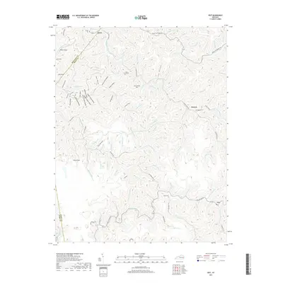
1954 Vest
Knott County, KY
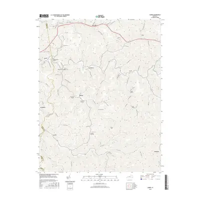
1992 Carrie
Knott County, KY
1992 Handshoe
Knott County, KY
1992 Kite
Knott County, KY
1992 Vest
Knott County, KY
2010 Carrie
Knott County, KY
2010 Handshoe
Knott County, KY
2010 Kite
Knott County, KY
2010 Vest
Knott County, KY
2013 Carrie
Knott County, KY
2013 Handshoe
Knott County, KY
2013 Kite
Knott County, KY
2013 Vest
Knott County, KY
2016 Carrie
Knott County, KY
2016 Handshoe
Knott County, KY
2016 Kite
Knott County, KY
2016 Vest
Knott County, KY
2019 Carrie
Knott County, KY
2019 Handshoe
Knott County, KY
2019 Kite
Knott County, KY
2019 Vest
Knott County, KY
2022 Carrie
Knott County, KY
2022 Handshoe
Knott County, KY
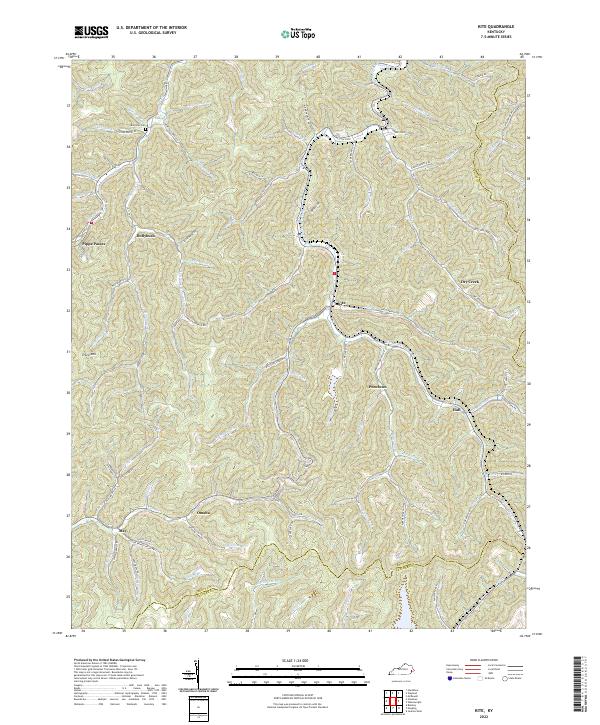
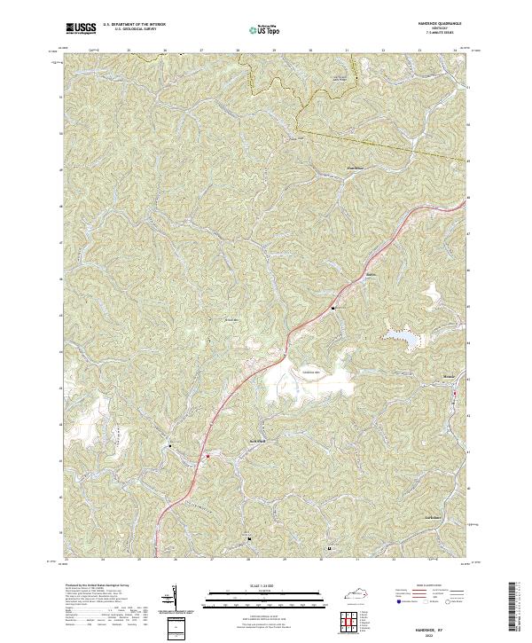
2022 Kite
Knott County, KY
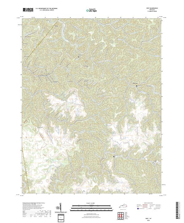
2022 Vest
Knott County, KY