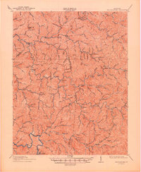
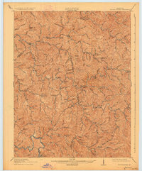
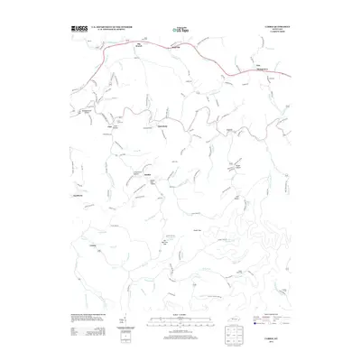
1914 Map of Troublesome
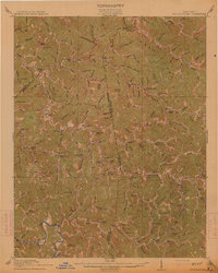
USGS Topo · Published 1949About this map
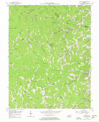
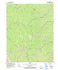
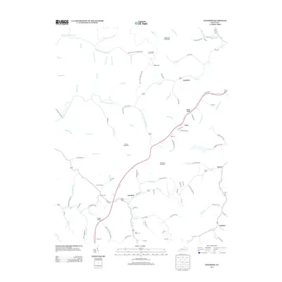
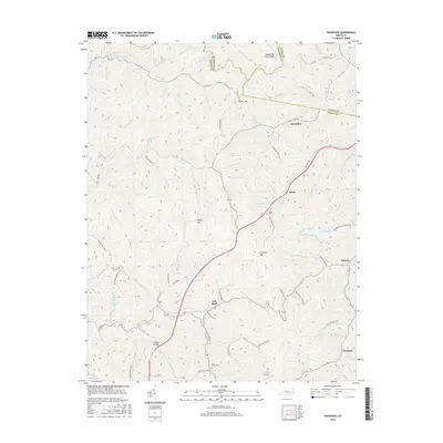
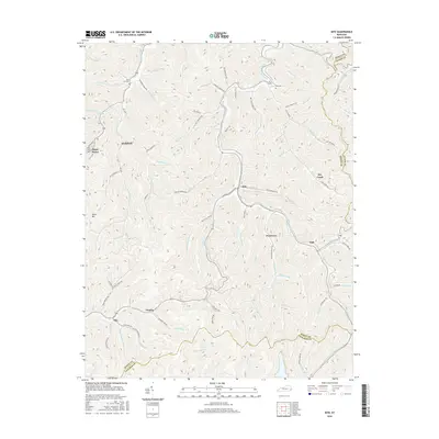
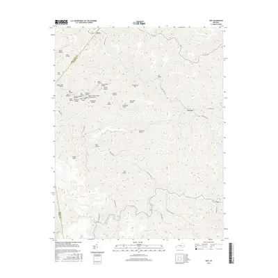
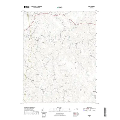
Quicksand Creek and the Middle Fork define the complex drainage patterns of this Kentucky highland during the early twentieth century. This survey area, covering the borders of Breathitt, Knott, and Perry counties, reveals a rural society organized almost entirely around its hollows and watercourses. Small settlements like Dwarf, Fisty, and Noble serve as local hubs, but the density of educational infrastructure is the most striking feature of the landscape. Numerous numbered and named institutions, such as School No. 10 and Fugate Fork School, are situated along nearly every major branch and fork, illustrating the community's reliance on localized schoolhouses. Notable peaks such as Potato Knob and Lost Mtn rise above the intricate network of streams, while the edge of Hazard appears in the southwestern corner, marking the proximity of the larger regional center.
Find a feature on this map
172 named features on this map. Tap any name to fly to it.
Don’t see what you’re looking for? This feature index may not catch every label — zoom into the map to look around manually.
Map Details
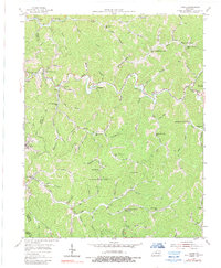
Editions of this 1914 Troublesome Map
3 editions found
Historical Maps of Hazard Through Time
29 maps found
1914 Troublesome
Knott County, KY
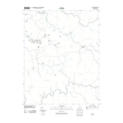
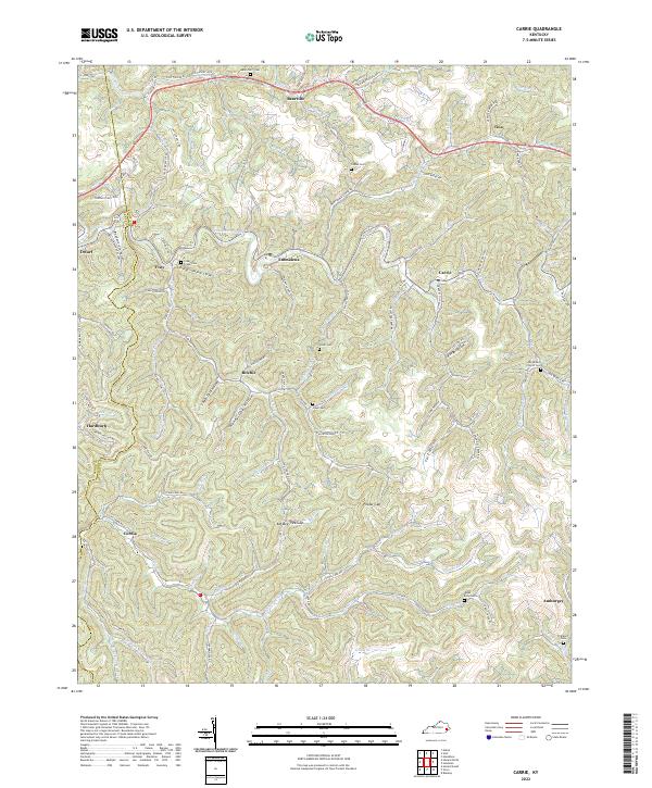
1954 Carrie
Knott County, KY
1954 Handshoe
Knott County, KY
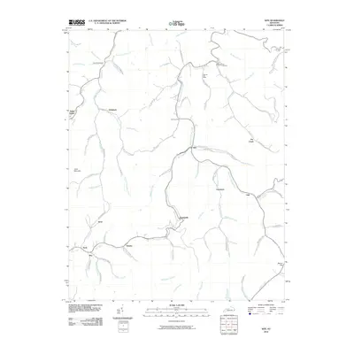
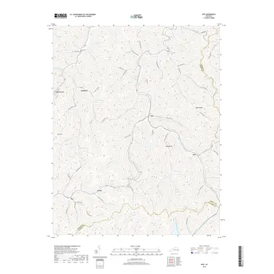
1954 Kite
Knott County, KY
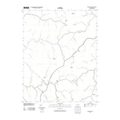
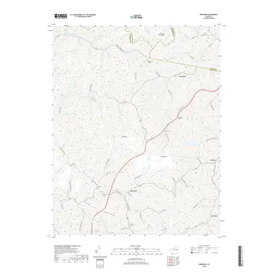
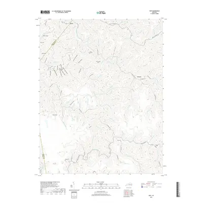
1954 Vest
Knott County, KY
1992 Carrie
Knott County, KY
1992 Handshoe
Knott County, KY
1992 Kite
Knott County, KY
1992 Vest
Knott County, KY
2010 Carrie
Knott County, KY
2010 Handshoe
Knott County, KY
2010 Kite
Knott County, KY
2010 Vest
Knott County, KY
2013 Carrie
Knott County, KY
2013 Handshoe
Knott County, KY
2013 Kite
Knott County, KY
2013 Vest
Knott County, KY
2016 Carrie
Knott County, KY
2016 Handshoe
Knott County, KY
2016 Kite
Knott County, KY
2016 Vest
Knott County, KY
2019 Carrie
Knott County, KY
2019 Handshoe
Knott County, KY
2019 Kite
Knott County, KY
2019 Vest
Knott County, KY
2022 Carrie
Knott County, KY
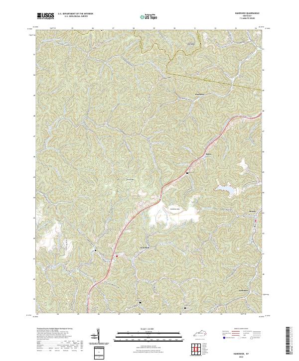
2022 Handshoe
Knott County, KY
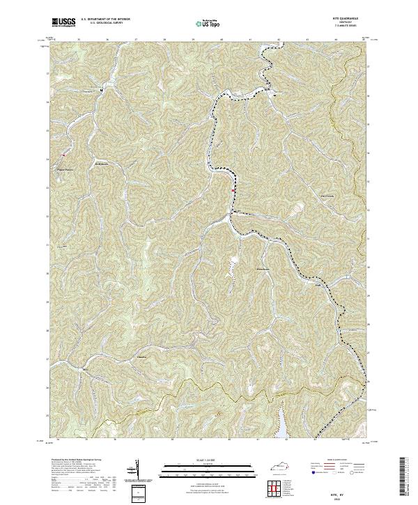
2022 Kite
Knott County, KY
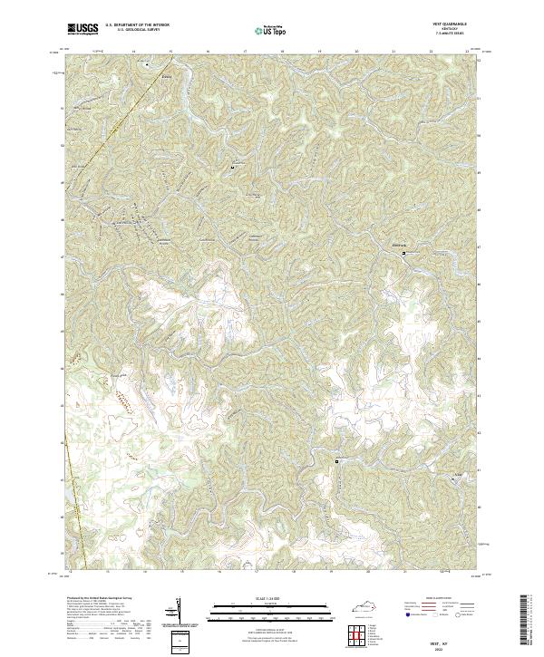
2022 Vest
Knott County, KY