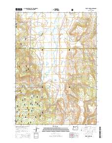
2014 Map of Trout Creek
USGS Topo · Published 2014About this map
The Silvies River and its accompanying West Side Ditch define the hydrologic character of this high-elevation region straddling the border of Grant and Harney counties. In the early 21st century, the area remains a landscape of ranching and forestry, anchored by the Silvies Valley and the small settlement at Trout Creek. The map shows a transition from the open valley floors to the timbered slopes of the Malhuer National Forest, which covers much of the western and southern reaches.
Find a feature on this map
40 named features on this map. Tap any name to fly to it.
Don’t see what you’re looking for? This feature index may not catch every label — zoom into the map to look around manually.
Map Details
Editions of this 2014 Trout Creek Map
This is the sole edition of this map. No revisions or reprints were ever made.
Other maps of this area

1955 · Burns
USGS Topo · 1:250,000

1955 · Canyon City
USGS Topo · 1:250,000

1958 · Burns
USGS Topo · 1:250,000

1959 · Burns
USGS Topo · 1:250,000

1959 · Canyon City
USGS Topo · 1:250,000

1959 · West Myrtle Butte
USGS Topo · 1:62,500

1961 · Calamity Butte
USGS Topo · 1:62,500

1961 · Logdell
USGS Topo · 1:62,500

1961 · Seneca
USGS Topo · 1:62,500

1978 · John Day
USGS Topo · 1:100,000