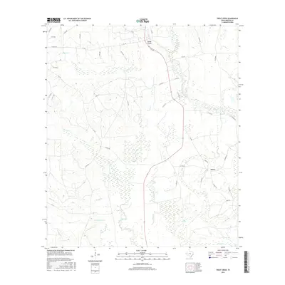
2016 Map of Trout Creek
USGS Topo · Published 2016About this map
Trout Creek and the neighboring settlement of Salem anchor this landscape in Newton County, characterized by a complex network of waterways that define the local geography. The area is dominated by the drainage systems of Big Cow Creek and Slaydons Cr, which weave through numerous wetlands and marshy lowlands. Notable natural features such as Gum Slough and Reese Marsh point to the persistent dampness of the terrain, while landmarks like The Cutoff suggest shifts in the historical flow of these coastal plain streams.
Find a feature on this map
51 named features on this map. Tap any name to fly to it.
Don’t see what you’re looking for? This feature index may not catch every label — zoom into the map to look around manually.
Map Details
Editions of this 2016 Trout Creek Map
This is the sole edition of this map. No revisions or reprints were ever made.
Other maps of this area

1935 · Wilson Lake
USGS Topo · 1:31,680

1947 · Carter Creek
USGS Topo · 1:31,680

1947 · Wilson Lake
USGS Topo · 1:31,680

1949 · Bancroft
USGS Topo · 1:31,680

1952 · Lake Charles
USGS Topo · 1:250,000

1954 · Lake Charles
USGS Topo · 1:250,000

1955 · Bessmay
USGS Topo · 1:62,500

1958 · Kirbyville
USGS Topo · 1:62,500
1959 · Starks
USGS Topo · 1:62,500
1959 · Bon Wier
USGS Topo · 1:62,500