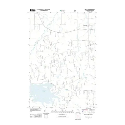
2011 Map of Trout Creek
USGS Topo · Published 2011About this map
Agate Falls and the Middle Branch Ontonagon River anchor the northern landscape of this interior Ontonagon County region. The community of Agate serves as a central point along the historic Old M-28 corridor, while the Agate Cemetery provides a primary point of interest for genealogical research nearby. Further south, the expansive Bond Falls Flowage dominates the terrain, creating a complex shoreline that includes Sand Lake and several smaller water bodies like Camp Lake.
Find a feature on this map
33 named features on this map. Tap any name to fly to it.
Don’t see what you’re looking for? This feature index may not catch every label — zoom into the map to look around manually.
Map Details
Editions of this 2011 Trout Creek Map
This is the sole edition of this map. No revisions or reprints were ever made.
Other maps of this area

1949 · Rockland
USGS Topo · 1:62,500

1951 · Rockland
USGS Topo · 1:62,500

1952 · Watersmeet
USGS Topo · 1:62,500

1954 · Rousseau
USGS Topo · 1:62,500

1954 · Kenton
USGS Topo · 1:62,500

1958 · Iron River
USGS Topo · 1:250,000

1960 · Iron River
USGS Topo · 1:250,000

1961 · Iron River
USGS Topo · 1:250,000

1967 · Iron River
USGS Topo · 1:250,000

1979 · Ontonagon
USGS Topo · 1:100,000