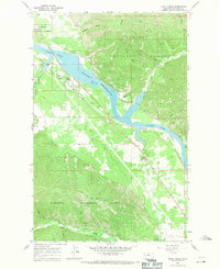
1966 Map of Trout Creek
USGS Topo · Published 1971About this map
Noxon Reservoir dominates this mid-1960s landscape, where the backed-up waters of the Clark Fork fill the valley floor. The settlement of Trout Creek sits along the southern shore, serving as a focal point for the region's infrastructure, including the Trout Creek Ranger Station and the Northern Pacific railroad line that tracks the water's edge. The surrounding terrain of the Kaniksu National Forest is defined by steep ridges like Copper Ridge and numerous drainages including Vermilion River and Beaver Creek.
Find a feature on this map
29 named features on this map. Tap any name to fly to it.
Don’t see what you’re looking for? This feature index may not catch every label — zoom into the map to look around manually.
Map Details
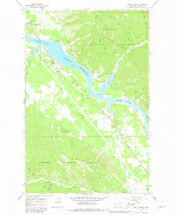
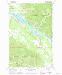
Editions of this 1966 Trout Creek Map
3 editions found
Other maps of this area

1932 · Trout Creek
USGS Topo · 1:125,000

1935 · Trout Creek
USGS Topo · 1:125,000

1936 · Trout Creek
USGS Topo · 1:125,000

1937 · Thompson Falls
USGS Topo · 1:125,000

1937 · Thompson Falls
USGS Topo · 1:62,500

1956 · Cooper Gulch
USGS Topo · 1:62,500

1956 · Wallace
USGS Topo · 1:250,000

1957 · Thompson Falls
USGS Topo · 1:62,500

1960 · Wallace
USGS Topo · 1:250,000
1966 · Goat Peak
USGS Topo · 1:24,000