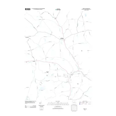
2013 Map of Troy
USGS Topo · Published 2013About this map
Troy serves as the central hub of this Pennsylvania landscape, where the confluence of several branches of Sugar Cr defines the local topography. The town's layout reflects a classic Northern Tier settlement pattern, anchored by Troy Reservoir and surrounded by smaller outlying communities like Columbia Cross Roads and Sylvania. A distinct network of family-named roads, such as Besley Rd and Ballard Hill Rd, suggests a long history of local land ownership and agricultural heritage throughout the valley.
Find a feature on this map
92 named features on this map. Tap any name to fly to it.
Don’t see what you’re looking for? This feature index may not catch every label — zoom into the map to look around manually.
Map Details
Editions of this 2013 Troy Map
This is the sole edition of this map. No revisions or reprints were ever made.
Other maps of this area

1931 · Troy
USGS Topo · 1:48,000

1938 · Troy
USGS Topo · 1:62,500

1939 · Sayre
USGS Topo · 1:62,500

1942 · Sayre
USGS Topo · 1:62,500

1942 · Canton
USGS Topo · 1:62,500

1943 · Powell
USGS Topo · 1:62,500

1944 · Canton
USGS Topo · 1:62,500

1945 · Powell
USGS Topo · 1:62,500

1948 · Sayre
USGS Topo · 1:62,500

1953 · Roseville
USGS Topo · 1:24,000