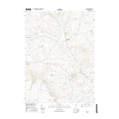
2016 Map of Troy
USGS Topo · Published 2016About this map
Troy serves as the focal point of this northern Pennsylvania landscape, situated at the confluence of several branches of Sugar Creek. The settlement pattern follows the drainage of Sugar Creek and the North Branch Sugar Creek, with small villages like Columbia Cross Roads and Austinville connected by valley roads. To the southwest, the terrain rises sharply toward the high plateau of Armenia Mtn, home to the ecologically distinct Tamarack Swamp. Genealogy researchers will find a significant concentration of burial grounds, including the Saint Johns Cem and Glenwood Cem near the town center, as well as family-named sites like Besley Cem and Fries Cem scattered across the uplands. The presence of Railroad Springs near Case Cem points to the historical importance of local water sources for early transportation and industry in Bradford County.
Find a feature on this map
88 named features on this map. Tap any name to fly to it.
Don’t see what you’re looking for? This feature index may not catch every label — zoom into the map to look around manually.
Map Details
Editions of this 2016 Troy Map
This is the sole edition of this map. No revisions or reprints were ever made.
Other maps of this area

1931 · Troy
USGS Topo · 1:48,000

1938 · Troy
USGS Topo · 1:62,500

1939 · Sayre
USGS Topo · 1:62,500

1942 · Sayre
USGS Topo · 1:62,500

1942 · Canton
USGS Topo · 1:62,500

1943 · Powell
USGS Topo · 1:62,500

1944 · Canton
USGS Topo · 1:62,500

1945 · Powell
USGS Topo · 1:62,500

1948 · Sayre
USGS Topo · 1:62,500

1953 · Roseville
USGS Topo · 1:24,000