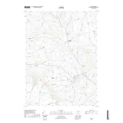
2019 Map of Troy
USGS Topo · Published 2019About this map
Troy serves as the focal point of this Pennsylvania landscape, situated at the confluence of several branches of Sugar Creek. The village and its immediate surroundings are dense with genealogical sites, including Glenwood Cem, Saint Johns Cem, and Oak Hill Cem. To the west, the terrain rises toward the broad plateau of Armenia Mtn, where the high-altitude Tamarack Swamp feeds the headwaters of Tioga River and Fall Brook.
Find a feature on this map
95 named features on this map. Tap any name to fly to it.
Don’t see what you’re looking for? This feature index may not catch every label — zoom into the map to look around manually.
Map Details
Editions of this 2019 Troy Map
This is the sole edition of this map. No revisions or reprints were ever made.
Other maps of this area

1931 · Troy
USGS Topo · 1:48,000

1938 · Troy
USGS Topo · 1:62,500

1939 · Sayre
USGS Topo · 1:62,500

1942 · Sayre
USGS Topo · 1:62,500

1942 · Canton
USGS Topo · 1:62,500

1943 · Powell
USGS Topo · 1:62,500

1944 · Canton
USGS Topo · 1:62,500

1945 · Powell
USGS Topo · 1:62,500

1948 · Sayre
USGS Topo · 1:62,500

1953 · Roseville
USGS Topo · 1:24,000