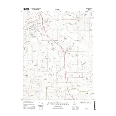
2015 Map of Troy
USGS Topo · Published 2015About this map
Troy and Moscow Mills anchor this Lincoln County landscape, showing the modern footprint of these historic Missouri settlements. The terrain is defined by the winding Cuivre River and several significant tributaries, including Crooked Creek and Butcher Cr. Family and community history is deeply rooted here, evidenced by a high density of burial grounds such as Troy City Cemetery, Bray Cemetery, and Frieden Cemetery. To the south, the map captures the transition into St. Charles County at Big Creek, where Flint Hill marks the southern extent of the survey. The infrastructure reflects a blend of residential expansion and rural utility, featuring Greensfield Airport and a network of named roads like Woods Fort Dr and Old Cap Au Gris Rd. Geologic and geographic features like Luckett Ridge provide a frame for the numerous small bodies of water, including Gooch Lake and Marie Cook Lake.
Find a feature on this map
63 named features on this map. Tap any name to fly to it.
Don’t see what you’re looking for? This feature index may not catch every label — zoom into the map to look around manually.
Map Details
Editions of this 2015 Troy Map
This is the sole edition of this map. No revisions or reprints were ever made.
Other maps of this area

1890 · Louisiana
USGS Topo · 1:125,000

1890 · Hermann
USGS Topo · 1:125,000

1903 · O'Fallon
USGS Topo · 1:125,000

1934 · Elsberry
USGS Topo · 1:48,000

1937 · Silex
USGS Topo · 1:62,500

1939 · Silex
USGS Topo · 1:48,000

1941 · Troy
USGS Topo · 1:62,500

1942 · Elsberry
USGS Topo · 1:62,500

1943 · Warrenton
USGS Topo · 1:62,500

1945 · Troy
USGS Topo · 1:62,500