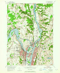
1954 Map of Troy North
USGS Topo · Published 1965About this map
The confluence of the Mohawk River and the Hudson River defines this mid-century industrial and transit landscape. The map captures a complex network of waterway infrastructure, featuring the Erie Canal and Champlain Canal alongside the Delaware and Hudson RR and New York Central RR. These systems converge around established river communities like Waterford, Cohoes, and Troy, where the terrain rises from the riverbanks toward Prospect Hill.
Find a feature on this map
69 named features on this map. Tap any name to fly to it.
Don’t see what you’re looking for? This feature index may not catch every label — zoom into the map to look around manually.
Map Details
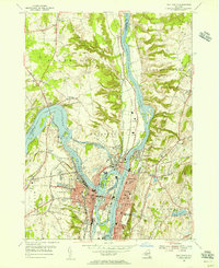
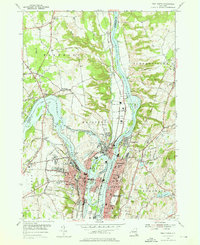
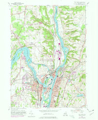
Editions of this 1954 Troy North Map
4 editions found
Other maps of this area

1893 · Cohoes
USGS Topo · 1:62,500

1893 · Troy
USGS Topo · 1:62,500

1893 · Schenectady
USGS Topo · 1:62,500

1893 · Albany
USGS Topo · 1:62,500

1895 · Troy
USGS Topo · 1:62,500

1895 · Cohoes
USGS Topo · 1:62,500

1895 · Albany
USGS Topo · 1:62,500

1895 · Schenectady
USGS Topo · 1:62,500

1898 · Schenectady
USGS Topo · 1:62,500

1898 · Albany
USGS Topo · 1:62,500