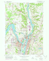
1954 Map of Troy North
USGS Topo · Published 1980About this map
The confluence of the Hudson River and the Mohawk River serves as the focal point for this 1954 survey, edited in 1980. This strategic waterway junction is defined by industrial and transportation history, featuring the remains of the Old Erie Canal (Aband) and the Champlain Canal (Abandoned) alongside the Delaware and Hudson RR. The map captures the dense urban and residential footprints of Waterford, Cohoes, and Troy, showing how these cities expanded around the powerful Cohoes Falls. Notable islands like Peebles Island State Park and Van Schaick Island sit at the river intersection, while the upland areas of Halfmoon and Schaghticoke maintain a more transitional character between industrial centers and the surrounding countryside. Dozens of cemeteries, such as Waterford Rural Cem and Oakwood Cemetery, are meticulously marked, offering valuable data for genealogical research in this long-settled river valley.
Find a feature on this map
83 named features on this map. Tap any name to fly to it.
Don’t see what you’re looking for? This feature index may not catch every label — zoom into the map to look around manually.
Map Details
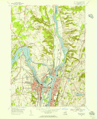
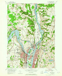
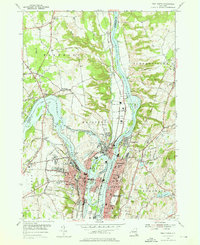
Editions of this 1954 Troy North Map
4 editions found
Other maps of this area

1893 · Cohoes
USGS Topo · 1:62,500

1893 · Troy
USGS Topo · 1:62,500

1893 · Schenectady
USGS Topo · 1:62,500

1893 · Albany
USGS Topo · 1:62,500

1895 · Troy
USGS Topo · 1:62,500

1895 · Cohoes
USGS Topo · 1:62,500

1895 · Albany
USGS Topo · 1:62,500

1895 · Schenectady
USGS Topo · 1:62,500

1898 · Schenectady
USGS Topo · 1:62,500

1898 · Albany
USGS Topo · 1:62,500