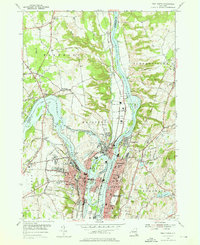
1954 Map of Troy North
USGS Topo · Published 1976About this map
Industrial and transport networks converge where the Mohawk River meets the Hudson River north of Albany. This mid-century survey documents the dense urban centers of Cohoes and Troy, showing the riverfront footprints of Green Island and Lansingburgh before later urban renewal. The landscape is defined by its water management and power history, from the natural drop of Cohoes Falls to the engineering of Crescent Dam. Significant genealogical detail is preserved through the mapping of extensive burial grounds like Oakwood Cemetery and St Agnes Cem. The rail-centered economy of the 1950s is evident in the corridors of the Delaware and Hudson RR and Boston and Maine RR, which serve the clustered settlements of Waterford and Halfmoon. Smaller residential pockets like Pleasantdale and Speigletown highlight the suburban growth extending into the hills of Brunswick.
Find a feature on this map
65 named features on this map. Tap any name to fly to it.
Don’t see what you’re looking for? This feature index may not catch every label — zoom into the map to look around manually.
Map Details
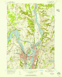
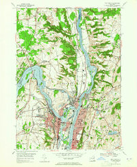
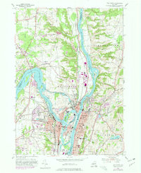
Editions of this 1954 Troy North Map
4 editions found
Other maps of this area

1893 · Cohoes
USGS Topo · 1:62,500

1893 · Troy
USGS Topo · 1:62,500

1893 · Schenectady
USGS Topo · 1:62,500

1893 · Albany
USGS Topo · 1:62,500

1895 · Troy
USGS Topo · 1:62,500

1895 · Cohoes
USGS Topo · 1:62,500

1895 · Albany
USGS Topo · 1:62,500

1895 · Schenectady
USGS Topo · 1:62,500

1898 · Schenectady
USGS Topo · 1:62,500

1898 · Albany
USGS Topo · 1:62,500