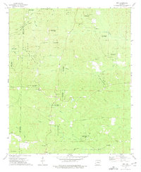
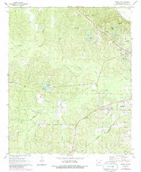
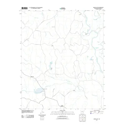
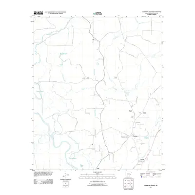
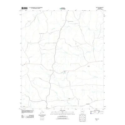
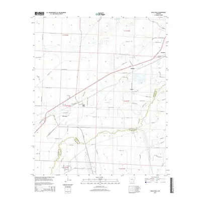
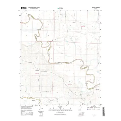
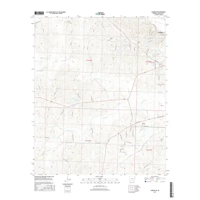
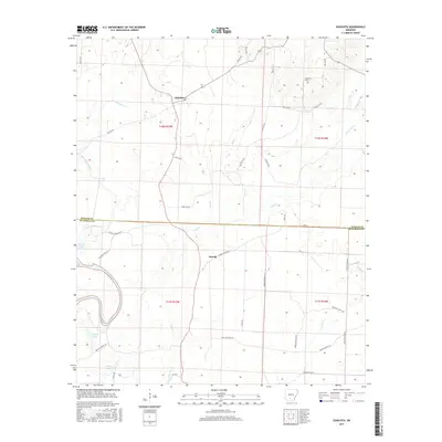
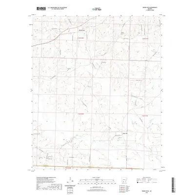
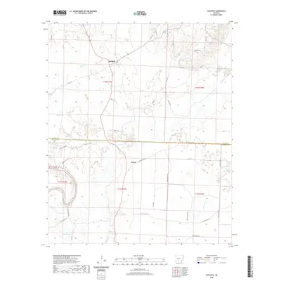
1973 Map of Troy
USGS Topo · Published 1975About this map
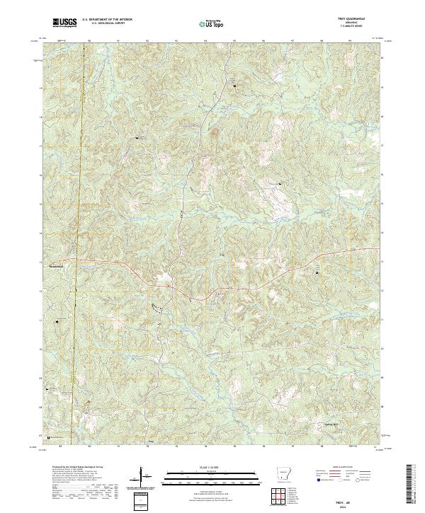
Poison Springs State Forest dominates the northern reaches of this Arkansas landscape, where the boundary between Nevada and Ouachita counties winds through dense woodlands and complex creek systems. In the mid-1970s, the rural character of the region is defined by a high concentration of community centers and burial grounds, such as Adams Chapel Cem and Zion Hill Ch. These sites, often located near settlements like Mendenhall and Cross Roads, highlight the established social fabric of the timber and agricultural lands.
Find a feature on this map
40 named features on this map. Tap any name to fly to it.
Don’t see what you’re looking for? This feature index may not catch every label — zoom into the map to look around manually.
Map Details
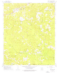
Editions of this 1973 Troy Map
This is the sole edition of this map. No revisions or reprints were ever made.
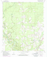
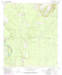
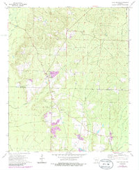
Historical Maps of Troy Through Time
54 maps found
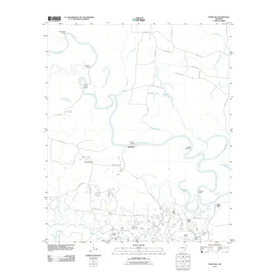
1962 Buena Vista
Ouachita County, AR
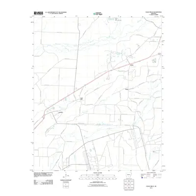
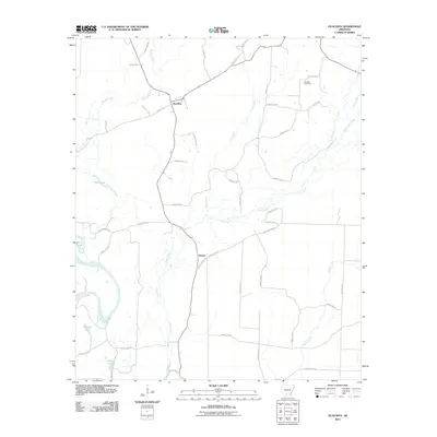
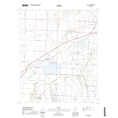
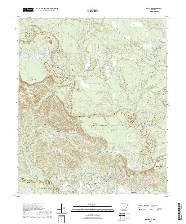
1962 Snow Hill
Ouachita County, AR
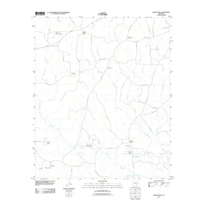
1971 Bragg City
Ouachita County, AR
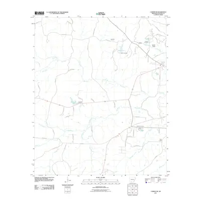
1971 Camden SW
Ouachita County, AR
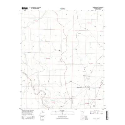
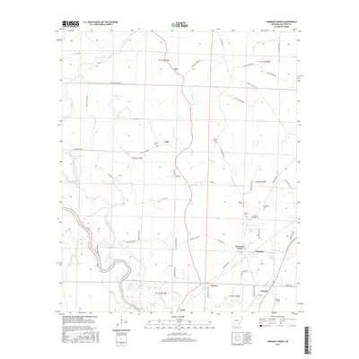
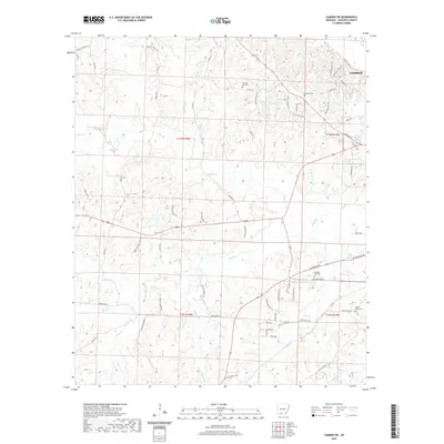
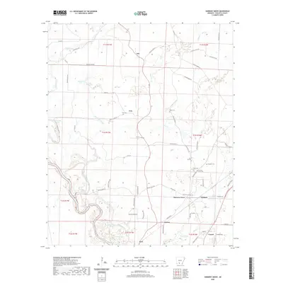
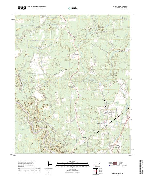
1971 Harmony Grove
Ouachita County, AR
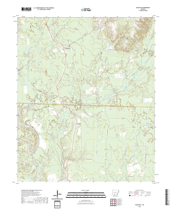
1971 Ouachita
Ouachita County, AR

1973 Eagle Mills
Ouachita County, AR
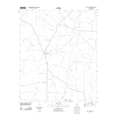
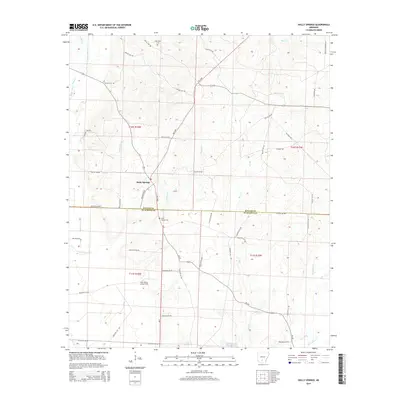
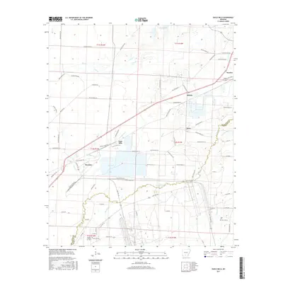
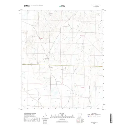
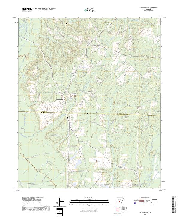
1973 Holly Springs
Ouachita County, AR
1973 Troy
Ouachita County, AR
2011 Bragg City
Ouachita County, AR
2011 Buena Vista
Ouachita County, AR
2011 Camden SW
Ouachita County, AR
2011 Eagle Mills
Ouachita County, AR
2011 Harmony Grove
Ouachita County, AR
2011 Holly Springs
Ouachita County, AR
2011 Ouachita
Ouachita County, AR
2011 Snow Hill
Ouachita County, AR
2011 Troy
Ouachita County, AR
2014 Bragg City
Ouachita County, AR
2014 Buena Vista
Ouachita County, AR
2014 Camden SW
Ouachita County, AR
2014 Eagle Mills
Ouachita County, AR
2014 Harmony Grove
Ouachita County, AR
2014 Holly Springs
Ouachita County, AR
2014 Ouachita
Ouachita County, AR
2014 Snow Hill
Ouachita County, AR
2014 Troy
Ouachita County, AR
2017 Bragg City
Ouachita County, AR
2017 Buena Vista
Ouachita County, AR
2017 Camden SW
Ouachita County, AR
2017 Eagle Mills
Ouachita County, AR
2017 Harmony Grove
Ouachita County, AR
2017 Holly Springs
Ouachita County, AR
2017 Ouachita
Ouachita County, AR
2017 Snow Hill
Ouachita County, AR
2017 Troy
Ouachita County, AR
2020 Bragg City
Ouachita County, AR
2020 Buena Vista
Ouachita County, AR
2020 Camden SW
Ouachita County, AR
2020 Eagle Mills
Ouachita County, AR
2020 Harmony Grove
Ouachita County, AR
2020 Holly Springs
Ouachita County, AR
2020 Ouachita
Ouachita County, AR
2020 Snow Hill
Ouachita County, AR
2020 Troy
Ouachita County, AR
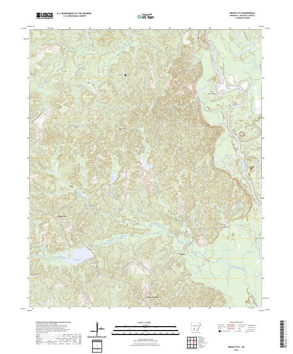
2024 Bragg City
Ouachita County, AR
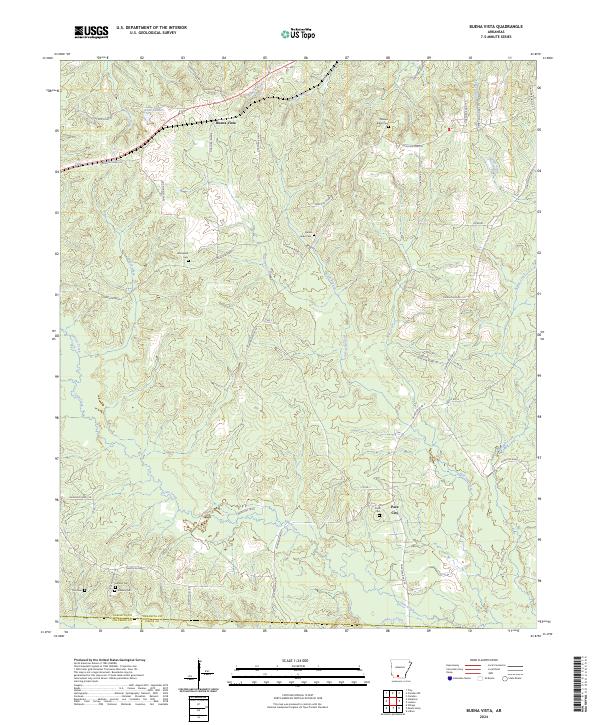
2024 Buena Vista
Ouachita County, AR
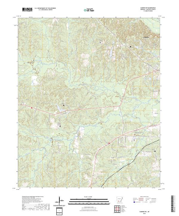
2024 Camden SW
Ouachita County, AR
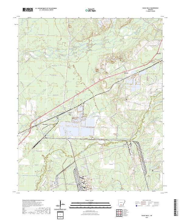
2024 Eagle Mills
Ouachita County, AR
2024 Harmony Grove
Ouachita County, AR
2024 Holly Springs
Ouachita County, AR
2024 Ouachita
Ouachita County, AR
2024 Snow Hill
Ouachita County, AR
2024 Troy
Ouachita County, AR