
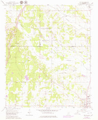
1966 Map of Troy SE
USGS Topo · Published 1967About this map
Okolona sits at the southern edge of this mid-1960s survey, marking a transition between the organized streets of the town and the rural stretches of the Tombigbee National Forest. The landscape is defined by a dense network of tributaries including Tallabinnela Creek and Mattubby Creek, which carve through the borderlands of Chickasaw, Lee, and Pontotoc counties. This era reveals a countryside deeply rooted in its local congregations, with numerous small landmarks such as Union Chapel, Mount Zion Ch, and New Hope Ch serving as focal points for the surrounding farmsteads.
Find a feature on this map
34 named features on this map. Tap any name to fly to it.
Don’t see what you’re looking for? This feature index may not catch every label — zoom into the map to look around manually.
Map Details
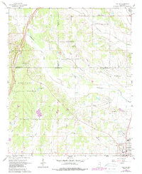
Editions of this 1966 Troy SE Map
3 editions found
Other maps of this area

1953 · West Point
USGS Topo · 1:250,000

1956 · Tupelo
USGS Topo · 1:250,000

1958 · Tupelo
USGS Topo · 1:250,000

1958 · West Point
USGS Topo · 1:250,000

1959 · Van Vleet
USGS Topo · 1:62,500

1963 · West Point
USGS Topo · 1:250,000

1965 · Egypt
USGS Topo · 1:24,000

1966 · Shannon
USGS Topo · 1:24,000

1966 · Troy NW
USGS Topo · 1:24,000

1966 · Bissell
USGS Topo · 1:24,000