Loading...
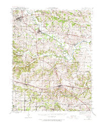
Loading map...1941 Map of Troy
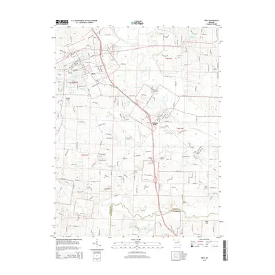
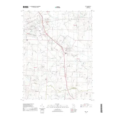
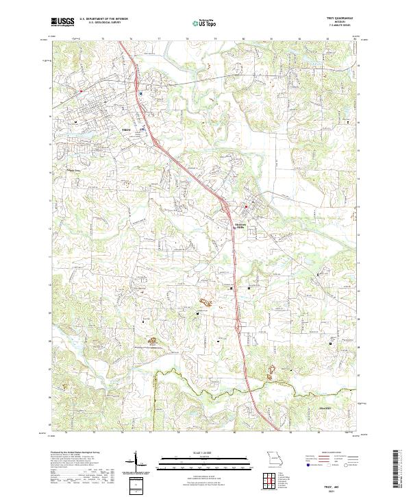
USGS Topo · Published 1973About this map
The Cuivre River winds through the heart of Lincoln and St. Charles counties, anchoring a landscape defined by its transition from agricultural uplands to the river bottoms during the early 1940s. The northern portion is dominated by the Cuivre River Recreational Area, while established rail corridors dictate the growth of towns like Wentzville and Troy. The Chicago Burlington and Quincy railroad traces the river valley, serving riverside communities such as Moscow Mills and Old Monroe.
Find a feature on this map
82 named features on this map. Tap any name to fly to it.
Don’t see what you’re looking for? This feature index may not catch every label — zoom into the map to look around manually.
Map Details
Date Portrayed1941
Date Published1973
PublisherU.S. Geological Survey
Map TypeTopographic
Scale1:62,500
Physical Dimensions17.6 x 21.7 inches
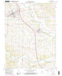
Editions of this 1941 Troy Map
2 editions found

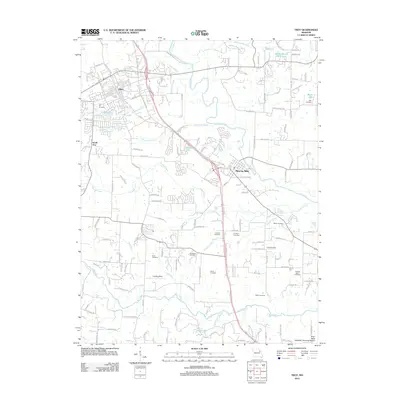
Historical Maps of O'Fallon Through Time
8 maps found

Featured Locations
Source Details
SourceU.S. Geological Survey
CopyrightPublic Domain