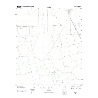
2012 Map of Truby
USGS Topo · Published 2012About this map
Anson serves as the primary urban center in this West Texas landscape, featuring a grid of streets from 20th St to 24th St and several avenues such as Avenue L and Avenue G. To the south, the community of Truby is defined by its proximity to the Clear Fork river and the local Truby Cem. This region is characterized by significant petroleum extraction activity, with several major operations including the Bullard Oil Field, East Bartlett Oil Field, and the Amy Sears Oil Field spread across the terrain.
Find a feature on this map
66 named features on this map. Tap any name to fly to it.
Don’t see what you’re looking for? This feature index may not catch every label — zoom into the map to look around manually.
Map Details
Editions of this 2012 Truby Map
This is the sole edition of this map. No revisions or reprints were ever made.
Other maps of this area

1891 · Anson
USGS Topo · 1:125,000

1893 · Roby
USGS Topo · 1:125,000

1893 · Anson
USGS Topo · 1:125,000

1954 · Big Spring
USGS Topo · 1:250,000

1954 · Abilene
USGS Topo · 1:250,000

1957 · Hawley
USGS Topo · 1:62,500
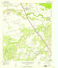
1957 · Hawley
USGS Topo · 1:24,000

1957 · Noodle
USGS Topo · 1:62,500

1958 · Big Spring
USGS Topo · 1:250,000

1958 · Abilene
USGS Topo · 1:250,000