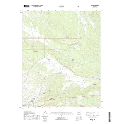
2020 Map of Truchas
USGS Topo · Published 2020About this map
Truchas and the surrounding high-altitude villages sit at the intersection of the Santa Fe National Forest and Carson National Forest. This 2020 topographic record shows a community landscape defined by traditional water management and high mountain drainage, including the Acequia de Ojo Sarco and numerous canyons like La Jara Canyon and Cañada Honda. The settlement pattern follows the Rio de Truchas and Rio Quemado, with distinct residential clusters at Vallecitos de Arriba, Vallecitos de en Medio, and Vallecitos de Abajo. For genealogists and local historians, the map is remarkably dense with burial sites, identifying the Martinez Cem in the north and several others in the south, including the Truchas Pueblo Cem, Cordova Cem, and Campo Santo Cem near Cordova.
Find a feature on this map
55 named features on this map. Tap any name to fly to it.
Don’t see what you’re looking for? This feature index may not catch every label — zoom into the map to look around manually.
Map Details
Editions of this 2020 Truchas Map
This is the sole edition of this map. No revisions or reprints were ever made.
Other maps of this area

1889 · Santa Fe
USGS Topo · 1:125,000

1894 · Santa Fe
USGS Topo · 1:125,000

1953 · Truchas
USGS Topo · 1:24,000

1953 · Velarde
USGS Topo · 1:24,000

1953 · Sierra Mosca
USGS Topo · 1:24,000
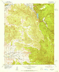
1953 · Cundiyo
USGS Topo · 1:24,000

1953 · Trampas
USGS Topo · 1:24,000

1953 · Chimayo
USGS Topo · 1:24,000

1954 · Santa Fe
USGS Topo · 1:250,000

1954 · Raton
USGS Topo · 1:250,000