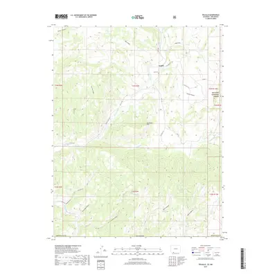
2019 Map of Trujillo
USGS Topo · Published 2019About this map
Trujillo serves as the primary focal point on this terrain, situated at the junction where Co RD 500 meets Riverview Dr. This rural settlement is closely tied to the surrounding canyons and water systems, with the Trujillo Cem nearby providing a historical link for genealogists tracing local lineages. The landscape is defined by the winding course of the San Juan River and its confluence with the Rio Blanco, where irrigation systems like the Virginia Ditch highlight the area's agricultural history. The eastern portion of the map transitions into the San Juan National Forest, while the southern reaches follow the Navajo River and Indian Rte 153. Prominent topographical features such as Montezuma Mesa and various named drainages like Cool Mine Canyon and Villareal Canyon illustrate the complex geography of this southern Colorado borderland.
Find a feature on this map
37 named features on this map. Tap any name to fly to it.
Don’t see what you’re looking for? This feature index may not catch every label — zoom into the map to look around manually.
Map Details
Editions of this 2019 Trujillo Map
This is the sole edition of this map. No revisions or reprints were ever made.
Other maps of this area
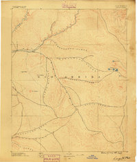
1889 · Largo
USGS Topo · 1:250,000
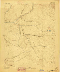
1895 · Largo
USGS Topo · 1:250,000
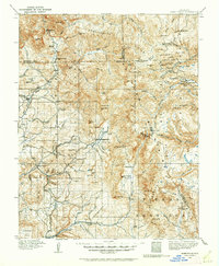
1913 · Summitville
USGS Topo · 1:125,000
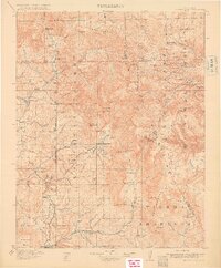
1915 · Summitville
USGS Topo · 1:125,000
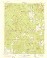
1924 · Pagosa Springs
USGS Topo · 1:125,000
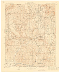
1927 · Pagosa Springs
USGS Topo · 1:125,000
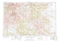
1945 · Durango
USGS Topo · 1:250,000
1953 · Durango
USGS Topo · 1:250,000
1954 · Durango
USGS Topo · 1:250,000
1954 · Aztec
USGS Topo · 1:250,000