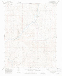
1984 Map of Trujillo
USGS Topo · Published 1984About this map
The San Juan River and Navajo River anchor this landscape along the border between Colorado and New Mexico, cutting through the high country of the Southern Ute Indian Reservation. The small settlement of Trujillo sits near the river bend, marked by a cemetery and a footbridge that suggests a modest, river-dependent community during this era. To the south, Villareal lies near the winding Navajo River, where deep canyons like Rincon Bonito and Agua Canyon define the topography.
Find a feature on this map
29 named features on this map. Tap any name to fly to it.
Don’t see what you’re looking for? This feature index may not catch every label — zoom into the map to look around manually.
Map Details
Editions of this 1984 Trujillo Map
This is the sole edition of this map. No revisions or reprints were ever made.
Other maps of this area

1889 · Largo
USGS Topo · 1:250,000

1895 · Largo
USGS Topo · 1:250,000

1913 · Summitville
USGS Topo · 1:125,000

1915 · Summitville
USGS Topo · 1:125,000

1924 · Pagosa Springs
USGS Topo · 1:125,000

1927 · Pagosa Springs
USGS Topo · 1:125,000

1945 · Durango
USGS Topo · 1:250,000

1953 · Durango
USGS Topo · 1:250,000

1954 · Durango
USGS Topo · 1:250,000

1954 · Aztec
USGS Topo · 1:250,000