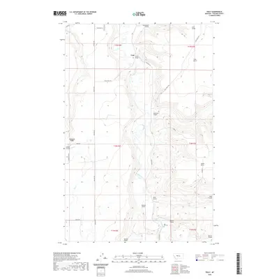
2020 Map of Truly
USGS Topo · Published 2020About this map
The Smith River carves a deep path through the high plains of Cascade County, defining a landscape of dramatic coulees and elevated plateaus. Near the crossing at Truly Bridge, the small settlement of Truly sits at the junction of the river valley and Truly Cutoff Rd. The topography is marked by named benches such as Truly Bench and Swede Bench, indicating the importance of these flat, raised areas for local land use and transit.
Find a feature on this map
32 named features on this map. Tap any name to fly to it.
Don’t see what you’re looking for? This feature index may not catch every label — zoom into the map to look around manually.
Map Details
Editions of this 2020 Truly Map
This is the sole edition of this map. No revisions or reprints were ever made.
Other maps of this area

1886 · Great Falls
USGS Topo · 1:250,000

1949 · Cascade
USGS Topo · 1:62,500

1951 · Cascade
USGS Topo · 1:62,500

1954 · Great Falls
USGS Topo · 1:250,000

1955 · Gore Hill
USGS Topo · 1:62,500

1957 · Great Falls
USGS Topo · 1:250,000

1961 · Schrammeck Lake
USGS Topo · 1:24,000

1965 · Eden
USGS Topo · 1:24,000
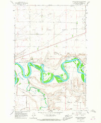
1965 · Antelope Butte
USGS Topo · 1:24,000
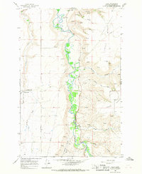
1965 · Truly
USGS Topo · 1:24,000