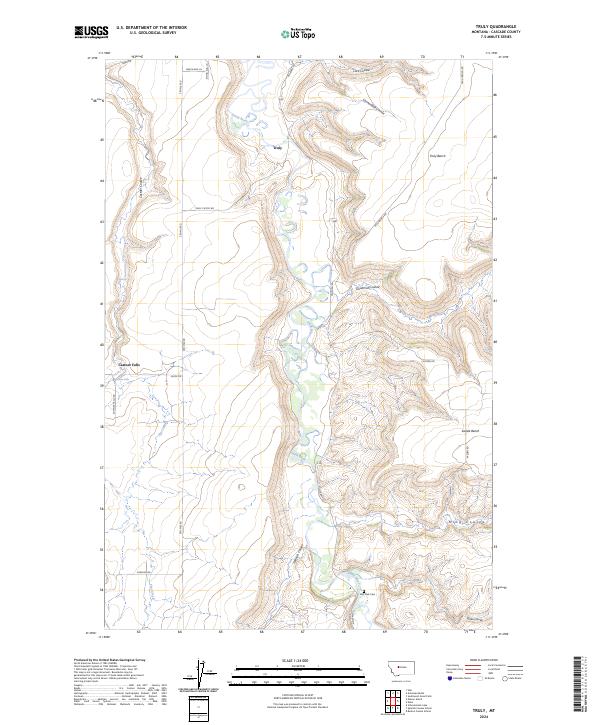
2024 Map of Truly
USGS Topo · Published 2024About this map
The Smith River carves a deep, winding path through this portion of Cascade County, defining a landscape of high plateaus and dramatic drainages. The small settlement of Truly sits near the river's northern bends, while the surrounding area is characterized by vast elevated features like Truly Bench and Swede Bench. The topography is marked by numerous named coulees, including Lord Coulee, Cannonball Coulee, and Goodman Coulee, which highlight the intricate erosion patterns of the northern plains.
Find a feature on this map
32 named features on this map. Tap any name to fly to it.
Don’t see what you’re looking for? This feature index may not catch every label — zoom into the map to look around manually.
Map Details
Editions of this 2024 Truly Map
This is the sole edition of this map. No revisions or reprints were ever made.
Other maps of this area

1886 · Great Falls
USGS Topo · 1:250,000

1949 · Cascade
USGS Topo · 1:62,500

1951 · Cascade
USGS Topo · 1:62,500

1954 · Great Falls
USGS Topo · 1:250,000

1955 · Gore Hill
USGS Topo · 1:62,500

1957 · Great Falls
USGS Topo · 1:250,000

1961 · Schrammeck Lake
USGS Topo · 1:24,000

1965 · Eden
USGS Topo · 1:24,000
1965 · Antelope Butte
USGS Topo · 1:24,000
1965 · Truly
USGS Topo · 1:24,000