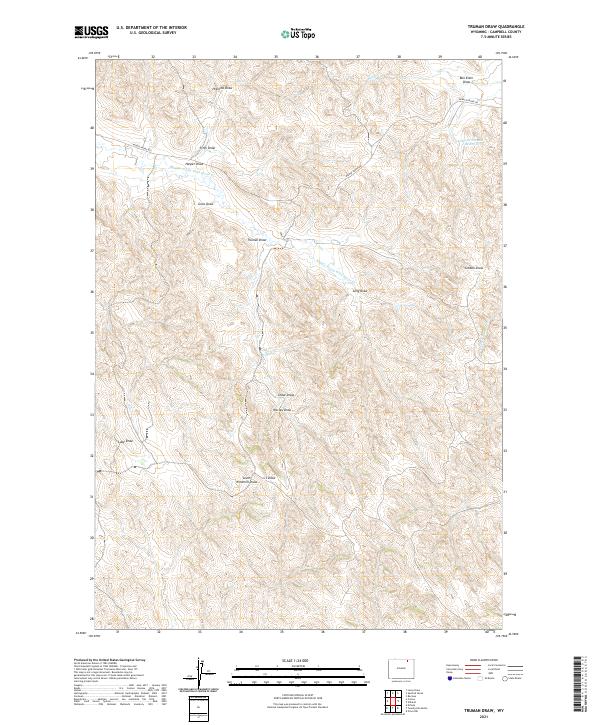
2021 Map of Truman Draw
USGS Topo · Published 2021About this map
The drainage network of the Powder River Basin defines the landscape in this Campbell County survey. The terrain is characterized by a dense system of seasonal watercourses and draws, such as Truman Draw, Cedar Draw, and Worley Draw, which drain toward larger systems like Middle Prong Wild Horse Creek. This area of Wyoming is historically tied to ranching and open-range grazing, evidenced by the limited infrastructure and the presence of localized water management like Gibbons Number 1 Reservoir and South Windmill Draw.
Find a feature on this map
24 named features on this map. Tap any name to fly to it.
Don’t see what you’re looking for? This feature index may not catch every label — zoom into the map to look around manually.
Map Details
Editions of this 2021 Truman Draw Map
This is the sole edition of this map. No revisions or reprints were ever made.
Other maps of this area

1954 · Gillette
USGS Topo · 1:250,000

1955 · Gillette
USGS Topo · 1:250,000

1958 · Gillette
USGS Topo · 1:250,000

1962 · Gillette
USGS Topo · 1:250,000

1971 · Larey Draw
USGS Topo · 1:24,000

1971 · Wildcat
USGS Topo · 1:24,000

1971 · Oriva NW
USGS Topo · 1:24,000

1971 · Recluse
USGS Topo · 1:24,000
1971 · Spotted Horse
USGS Topo · 1:24,000
1971 · Truman Draw
USGS Topo · 1:24,000