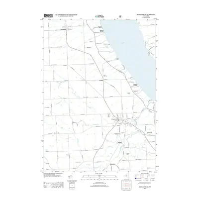
2013 Map of Trumansburg
USGS Topo · Published 2013About this map
Cayuga Lake dominates the eastern edge of this landscape, its western shoreline punctuated by landings and points such as Osgood Landing and Little Point. The inland topography is defined by the deep incisions of Taughannock Cr and Trumansburg Cr as they flow toward the lake. The village of Trumansburg serves as a primary hub, showing a dense street grid and landmarks like the Po and Trumansburg Public Golf Course.
Find a feature on this map
137 named features on this map. Tap any name to fly to it.
Don’t see what you’re looking for? This feature index may not catch every label — zoom into the map to look around manually.
Map Details
Editions of this 2013 Trumansburg Map
This is the sole edition of this map. No revisions or reprints were ever made.
Other maps of this area

1893 · Ithaca
USGS Topo · 1:62,500

1895 · Ithaca
USGS Topo · 1:62,500

1898 · Watkins Glen
USGS Topo · 1:62,500

1901 · Watkins
USGS Topo · 1:62,500

1902 · Genoa
USGS Topo · 1:62,500

1902 · Ovid
USGS Topo · 1:62,500

1905 · Watkins Glen
USGS Topo · 1:125,000

1942 · Ovid
USGS Topo · 1:31,680

1942 · Ludlowville
USGS Topo · 1:24,000

1942 · Lodi
USGS Topo · 1:24,000