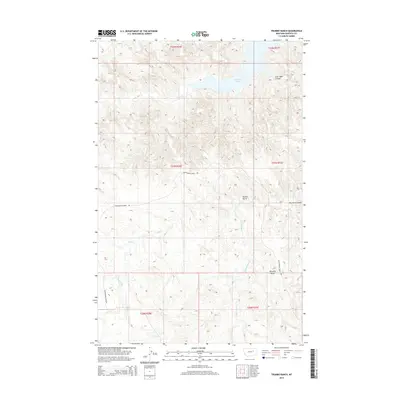
2014 Map of Trumbo Ranch
USGS Topo · Published 2014About this map
Trumbo Ranch serves as a central landmark in this portion of Garfield County, where the topography is defined by the intricate drainage systems leading toward the southern reaches of Fort Peck Lake. The landscape is a network of coulees and creeks, including East Cabin Coulee and Dry Fork Coulee, which carve through the high ground. Accessibility across this section of the Missouri River Breaks is primarily provided by Cottonwood Creek Rd, which winds through the western half of the map. High points like Brownie Butte rise above the surrounding terrain, offering distinct navigational markers in a region otherwise dominated by the serpentine paths of Hell Cr and Snow Cr. This map illustrates the intersection of large-scale water management and traditional ranching geography in the early twenty-first century.
Find a feature on this map
15 named features on this map. Tap any name to fly to it.
Don’t see what you’re looking for? This feature index may not catch every label — zoom into the map to look around manually.
Map Details
Editions of this 2014 Trumbo Ranch Map
This is the sole edition of this map. No revisions or reprints were ever made.
Other maps of this area

1954 · Jordan
USGS Topo · 1:250,000

1956 · Jordan
USGS Topo · 1:250,000

1958 · Jordan
USGS Topo · 1:250,000

1958 · Maloney Hill
USGS Topo · 1:62,500

1964 · Jordan
USGS Topo · 1:250,000

1964 · Jordan NW
USGS Topo · 1:24,000

1971 · Hell Hollow
USGS Topo · 1:24,000

1971 · Trumbo Ranch
USGS Topo · 1:24,000

1971 · Wagon Coulee
USGS Topo · 1:24,000

1971 · Harper Camp
USGS Topo · 1:24,000