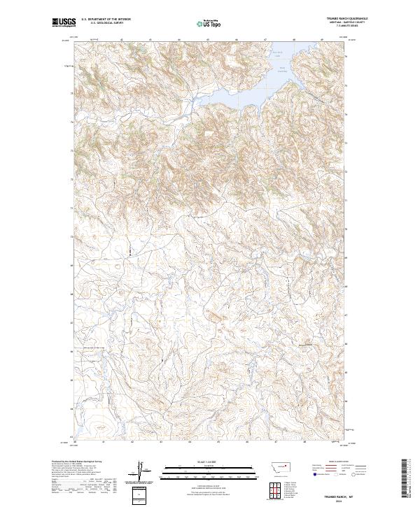
2024 Map of Trumbo Ranch
USGS Topo · Published 2024About this map
Fort Peck Lake and its intricate northern shoreline dominate this portion of Garfield County, where the waters of Snow Creek Bay meet a highly dissected landscape of coulees and buttes. Much of the northern terrain is managed as the Charles M Russell National Wildlife Refuge, a designation that preserves the complex drainage networks of Snow Creek and East Cabin Coulee. This modern survey illustrates a sparsely populated region characterized by vast public lands and remote infrastructure, such as the winding Trumbo Rd.
Find a feature on this map
16 named features on this map. Tap any name to fly to it.
Don’t see what you’re looking for? This feature index may not catch every label — zoom into the map to look around manually.
Map Details
Editions of this 2024 Trumbo Ranch Map
This is the sole edition of this map. No revisions or reprints were ever made.
Other maps of this area

1954 · Jordan
USGS Topo · 1:250,000

1956 · Jordan
USGS Topo · 1:250,000

1958 · Jordan
USGS Topo · 1:250,000

1958 · Maloney Hill
USGS Topo · 1:62,500

1964 · Jordan
USGS Topo · 1:250,000

1964 · Jordan NW
USGS Topo · 1:24,000

1971 · Hell Hollow
USGS Topo · 1:24,000

1971 · Trumbo Ranch
USGS Topo · 1:24,000

1971 · Wagon Coulee
USGS Topo · 1:24,000

1971 · Harper Camp
USGS Topo · 1:24,000