Loading...
Loading map...2022 Map of Truro
USGS Topo · Published 2022About this map
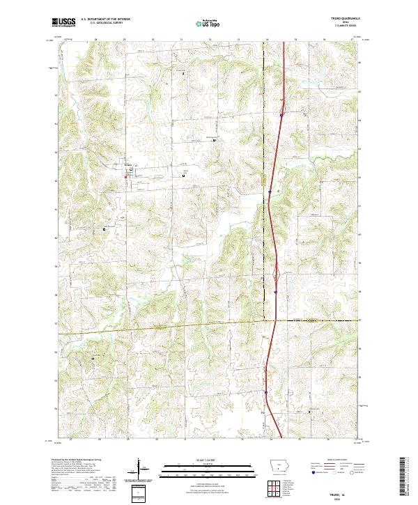
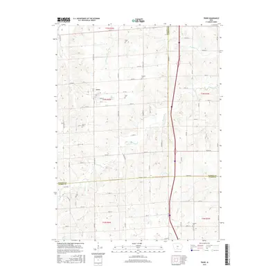
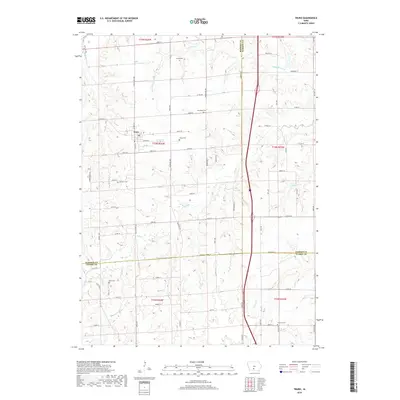
Truro serves as the primary hub in this rural landscape where the boundaries of Madison, Clarke, and Warren counties converge. The terrain is defined by the winding course of the S River and its various tributaries, including Broadhorn Cr and Limestone Cr. The distribution of historical burial sites suggests a long-established rural community, with cemeteries like Young Cem, Worthing Cem, and Hartman Cem scattered across the township lines.
Find a feature on this map
52 named features on this map. Tap any name to fly to it.
Don’t see what you’re looking for? This feature index may not catch every label — zoom into the map to look around manually.
Map Details
Date Portrayed2022
Date Published2022
PublisherU.S. Geological Survey
Map TypeTopographic
Scale1:24,000
Physical Dimensions24 x 29 inches
Editions of this 2022 Truro Map
This is the sole edition of this map. No revisions or reprints were ever made.
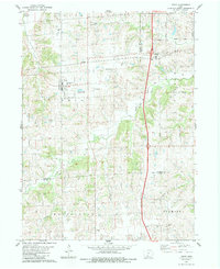
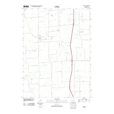
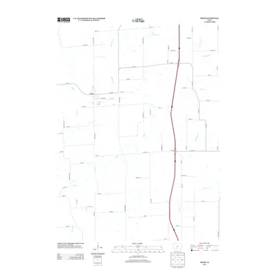
Historical Maps of Truro Through Time
6 maps found
Featured Locations
Source Details
SourceU.S. Geological Survey
CopyrightPublic Domain