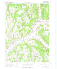
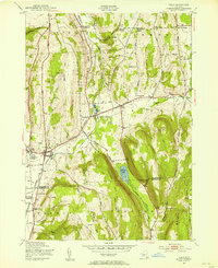
1955 Map of Truxton
USGS Topo · Published 1974About this map
Tioughnioga River East Branch carves a deep valley through the high country of northeastern Cortland County, providing the primary corridor for the Lehigh Valley railroad and regional settlements. The village of Truxton serves as a central hub, where St Patricks church and the nearby Crains Mills mark the local topography. The landscape is defined by significant conservation efforts, including the Tully Forest NY State College of Forestry and multiple designated reforestation areas such as State Reforestation Area (Cortland County No 13).
Find a feature on this map
30 named features on this map. Tap any name to fly to it.
Don’t see what you’re looking for? This feature index may not catch every label — zoom into the map to look around manually.
Map Details
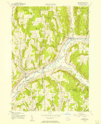
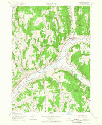
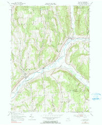
Editions of this 1955 Truxton Map
4 editions found
Other maps of this area

1897 · Cazenovia
USGS Topo · 1:62,500

1899 · Cazenovia
USGS Topo · 1:62,500

1900 · Tully
USGS Topo · 1:62,500

1903 · Cortland
USGS Topo · 1:62,500

1904 · Pitcher
USGS Topo · 1:62,500

1943 · Otisco Valley
USGS Topo · 1:31,680
1943 · Tully
USGS Topo · 1:24,000

1943 · De Ruyter
USGS Topo · 1:24,000

1943 · Cincinnatus
USGS Topo · 1:24,000

1943 · Cuyler
USGS Topo · 1:24,000