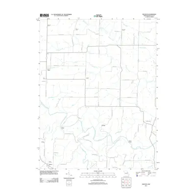
2012 Map of Truxton
USGS Topo · Published 2012About this map
The West Fork Cuivre River winds through this section of Lincoln County, defining a landscape of agricultural valley floors and wooded draws. The settlement of Truxton anchors the southern edge of the sheet, while the village of Olney sits to the northwest. This 2012 survey illustrates a region where local heritage is preserved through numerous family and community landmarks, including the Truxton Cemetery, Old Liberty Cemetery, and Owings Cemetery.
Find a feature on this map
70 named features on this map. Tap any name to fly to it.
Don’t see what you’re looking for? This feature index may not catch every label — zoom into the map to look around manually.
Map Details
Editions of this 2012 Truxton Map
This is the sole edition of this map. No revisions or reprints were ever made.
Other maps of this area

1890 · Louisiana
USGS Topo · 1:125,000

1890 · Hermann
USGS Topo · 1:125,000

1937 · Silex
USGS Topo · 1:62,500

1939 · Silex
USGS Topo · 1:48,000

1942 · New Florence
USGS Topo · 1:62,500

1942 · Bellflower
USGS Topo · 1:62,500

1943 · Warrenton
USGS Topo · 1:62,500

1945 · Bellflower
USGS Topo · 1:62,500

1945 · Warrenton
USGS Topo · 1:62,500

1946 · New Florence
USGS Topo · 1:62,500