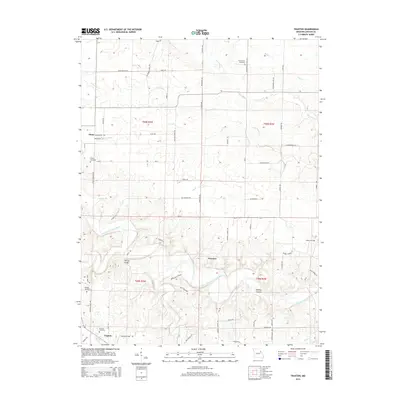
2014 Map of Truxton
USGS Topo · Published 2014About this map
The West Fork Cuivre River and its complex network of tributaries, including Big Lead Cr and Little Lead Cr, define the rural landscape of this Missouri region near the Lincoln and Montgomery County lines. Several established cemeteries, such as Truxton Cemetery, Olney Cemetery, and Old Liberty Cemetery, suggest long-standing family settlements and local heritage across the hills and hollows. The presence of Millsap Bridge and numerous named secondary roads like Patterson School Rd and Old Reddish School Rd indicates the historical locations of early educational centers, even if the buildings themselves have faded. This terrain-focused view is particularly useful for genealogists tracing ancestors through the documented locations of Owings Cemetery and Starkey Hollow during the early 21st century.
Find a feature on this map
74 named features on this map. Tap any name to fly to it.
Don’t see what you’re looking for? This feature index may not catch every label — zoom into the map to look around manually.
Map Details
Editions of this 2014 Truxton Map
This is the sole edition of this map. No revisions or reprints were ever made.
Other maps of this area

1890 · Louisiana
USGS Topo · 1:125,000

1890 · Hermann
USGS Topo · 1:125,000

1937 · Silex
USGS Topo · 1:62,500

1939 · Silex
USGS Topo · 1:48,000

1942 · New Florence
USGS Topo · 1:62,500

1942 · Bellflower
USGS Topo · 1:62,500

1943 · Warrenton
USGS Topo · 1:62,500

1945 · Bellflower
USGS Topo · 1:62,500

1945 · Warrenton
USGS Topo · 1:62,500

1946 · New Florence
USGS Topo · 1:62,500