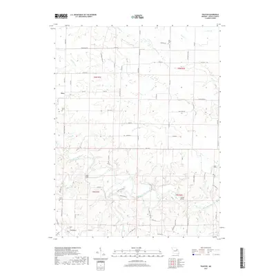
2017 Map of Truxton
USGS Topo · Published 2017About this map
The West Fork Cuivre River meanders through the heart of this Lincoln County landscape, defining the topography of the southern half of the quadrangle. Significant watercourses including Bear Creek and Camp Cr feed into the river, creating a network of drainage basins like Starkey Hollow. The settlement pattern is anchored by the small communities of Olney and Truxton, which remain connected by a rural road network that includes State Hwy O and State Hwy E.
Find a feature on this map
78 named features on this map. Tap any name to fly to it.
Don’t see what you’re looking for? This feature index may not catch every label — zoom into the map to look around manually.
Map Details
Editions of this 2017 Truxton Map
This is the sole edition of this map. No revisions or reprints were ever made.
Other maps of this area

1890 · Louisiana
USGS Topo · 1:125,000

1890 · Hermann
USGS Topo · 1:125,000

1937 · Silex
USGS Topo · 1:62,500

1939 · Silex
USGS Topo · 1:48,000

1942 · New Florence
USGS Topo · 1:62,500

1942 · Bellflower
USGS Topo · 1:62,500

1943 · Warrenton
USGS Topo · 1:62,500

1945 · Bellflower
USGS Topo · 1:62,500

1945 · Warrenton
USGS Topo · 1:62,500

1946 · New Florence
USGS Topo · 1:62,500