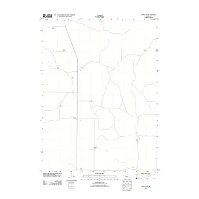
2011 Map of Tryon NW
USGS Topo · Published 2011About this map
Large cattle ranches define the landscape of this portion of Hooker County, where the topography and road network reflect a region shaped by the ranching economy of the early 21st century. The map highlights a series of named family operations, such as Purdum Ranch in the north and Dobbins Ranch and Waits Ranch in the south, which represent the primary centers of activity in this rural territory. A north-south corridor connects several properties, including A Neal Ranch and L Neal Ranch, alongside others like Whittaker Ranch and McClintock Ranch. This spatial distribution reveals how land is partitioned in the Nebraska Sandhills, where sprawling ranch tracts like Roggenthen Ranch and Power Ranch necessitate a spread-out infrastructure of local roads and trails to manage the vast acreage typical of this high plains country.
Find a feature on this map
13 named features on this map. Tap any name to fly to it.
Don’t see what you’re looking for? This feature index may not catch every label — zoom into the map to look around manually.
Map Details
Editions of this 2011 Tryon NW Map
This is the sole edition of this map. No revisions or reprints were ever made.
Other maps of this area

1947 · Dismal River Ranch
USGS Topo · 1:62,500

1949 · Dismal River Ranch
USGS Topo · 1:62,500

1949 · Wright Valley
USGS Topo · 1:62,500

1950 · Shimmins Lake
USGS Topo · 1:62,500

1951 · Tryon
USGS Topo · 1:62,500

1951 · Wright Valley
USGS Topo · 1:62,500

1954 · North Platte
USGS Topo · 1:250,000

1956 · North Platte
USGS Topo · 1:250,000

1957 · North Platte
USGS Topo · 1:250,000

1967 · North Platte
USGS Topo · 1:250,000