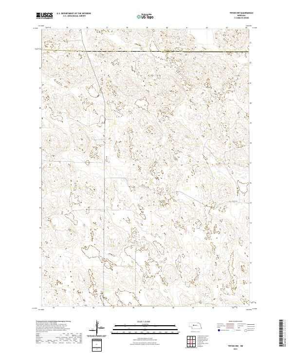
2021 Map of Tryon NW
USGS Topo · Published 2021About this map
The rolling Sandhills of Nebraska dominate this 2021 survey, defined by a sparse network of section lines and the occasional artery of rural travel. Crossing the northern portion of the map is the boundary between Hooker Co and Mcpherson Co, a remote stretch where the landscape is largely untouched by dense settlement. The primary thoroughfare in this quadrangle is Hall Church Rd, which winds through the southern half of the territory. This map captures the vast, open character of the region as it remains today, serving as a foundational record for those studying the enduring land divisions of the Public Land Survey System, specifically within t20n r31w and its neighboring townships.
Find a feature on this map
8 named features on this map. Tap any name to fly to it.
Don’t see what you’re looking for? This feature index may not catch every label — zoom into the map to look around manually.
Map Details
Editions of this 2021 Tryon NW Map
This is the sole edition of this map. No revisions or reprints were ever made.
Other maps of this area

1947 · Dismal River Ranch
USGS Topo · 1:62,500

1949 · Dismal River Ranch
USGS Topo · 1:62,500

1949 · Wright Valley
USGS Topo · 1:62,500

1950 · Shimmins Lake
USGS Topo · 1:62,500

1951 · Tryon
USGS Topo · 1:62,500

1951 · Wright Valley
USGS Topo · 1:62,500

1954 · North Platte
USGS Topo · 1:250,000

1956 · North Platte
USGS Topo · 1:250,000

1957 · North Platte
USGS Topo · 1:250,000

1967 · North Platte
USGS Topo · 1:250,000