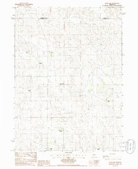
1985 Map of Tryon NW
USGS Topo · Published 1986About this map
The remote Sandhills along the Hooker Co and McPherson Co line are defined by a network of scattered cattle operations in the mid-1980s. This landscape is a patchwork of family-named ranching outposts, including McClintock Ranch and Power Ranch. The terrain is marked by the unique dune topography of central Nebraska, where roads are sparse and often limited to four-wheel drive tracks connecting isolated homesites like Lutes Ranch and Waits Ranch. Settlement patterns here reflect the large-scale landholdings required for livestock in this environment, with related families often holding adjacent parcels as seen with A Neal Ranch and L Neal Ranch. This survey provides a precise record of these rural homesteads and their unimproved access routes before modern consolidations.
Find a feature on this map
10 named features on this map. Tap any name to fly to it.
Don’t see what you’re looking for? This feature index may not catch every label — zoom into the map to look around manually.
Map Details
Editions of this 1985 Tryon NW Map
This is the sole edition of this map. No revisions or reprints were ever made.
Other maps of this area

1947 · Dismal River Ranch
USGS Topo · 1:62,500

1949 · Dismal River Ranch
USGS Topo · 1:62,500

1949 · Wright Valley
USGS Topo · 1:62,500

1950 · Shimmins Lake
USGS Topo · 1:62,500

1951 · Tryon
USGS Topo · 1:62,500

1951 · Wright Valley
USGS Topo · 1:62,500

1954 · North Platte
USGS Topo · 1:250,000

1956 · North Platte
USGS Topo · 1:250,000

1957 · North Platte
USGS Topo · 1:250,000

1967 · North Platte
USGS Topo · 1:250,000