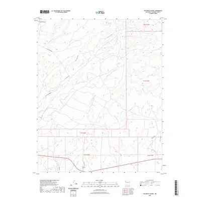
2020 Map of Tse Bonita School
USGS Topo · Published 2020About this map
Tse Bonita School anchors the southern portion of this high-desert landscape within the Fort Defiance Agency area of McKinley County. The terrain is defined by a dense network of seasonal drainages, including Slick Rock Wash, Owls Nest Wash, and the notably named Burned Through the Rock Wash, which carve through the foothills of the Chuska Mountains.
Find a feature on this map
24 named features on this map. Tap any name to fly to it.
Don’t see what you’re looking for? This feature index may not catch every label — zoom into the map to look around manually.
Map Details
Editions of this 2020 Tse Bonita School Map
This is the sole edition of this map. No revisions or reprints were ever made.
Other maps of this area

1886 · Wingate
USGS Topo · 1:250,000

1886 · Fort Defiance
USGS Topo · 1:250,000

1892 · Fort Defiance
USGS Topo · 1:250,000

1892 · Wingate
USGS Topo · 1:250,000

1954 · Gallup
USGS Topo · 1:250,000

1955 · Zith-Tusayan Butte 4 NE
USGS Topo · 1:24,000

1955 · Zith-Tusayan Butte 1 SE
USGS Topo · 1:24,000

1955 · Tohatchi
USGS Topo · 1:62,500
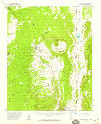
1955 · Buell Park
USGS Topo · 1:62,500

1958 · Gallup
USGS Topo · 1:250,000