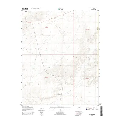
2014 Map of Tsin Naan Tee
USGS Topo · Published 2014About this map
Jeddito and Whitecone anchor this high-desert landscape within the Fort Defiance Agency, characterized by a sophisticated network of Bureau of Indian Affairs routes and ancient terrain features. The landscape is dominated by the prominent rise of Tsin Naan Tee and the distinct geographic landmark of White Point, which overlook a series of mesas and drainages. Transportation through the region relies heavily on Az-264 in the north and the radiating spokes of Bia-6, which provides access to the interior. The survey delineates the township and range boundaries including t27n r21e and t26n r22e, reflecting the formal mapping of traditional lands. This map is particularly useful for understanding the modern infrastructure overlaying the traditional landscape, where arterial roads like Bia-9000 and Bia-9751 follow the natural contours of the high plateau.
Find a feature on this map
16 named features on this map. Tap any name to fly to it.
Don’t see what you’re looking for? This feature index may not catch every label — zoom into the map to look around manually.
Map Details
Editions of this 2014 Tsin Naan Tee Map
This is the sole edition of this map. No revisions or reprints were ever made.
Other maps of this area

1883 · Tusayan
USGS Topo · 1:250,000

1886 · Tusayan
USGS Topo · 1:250,000

1886 · Fort Defiance
USGS Topo · 1:250,000

1892 · Fort Defiance
USGS Topo · 1:250,000

1947 · Flagstaff
USGS Topo · 1:250,000

1954 · Flagstaff
USGS Topo · 1:250,000

1954 · Gallup
USGS Topo · 1:250,000

1958 · Gallup
USGS Topo · 1:250,000

1958 · Flagstaff
USGS Topo · 1:250,000

1959 · Gallup
USGS Topo · 1:250,000