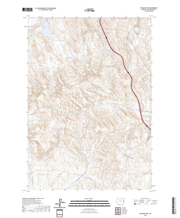
2023 Map of Tub Mountain
USGS Topo · Published 2023About this map
Pine Ridge forms a prominent central spine across this portion of Malheur County, where a complex network of reservoirs and gulches defines the land use and water management. Modern infrastructure like Interstate 84 cuts through the eastern terrain, yet the map also traces the enduring path of the Old Oregon Trl in the southwest, anchoring the landscape in its 19th-century transit roots. Numerous small catchments, such as Love Reservoir and Bostic Lake Reservoir, are distributed across the high country to support local needs, while topographic landmarks like Tub Mtn and Tub Springs provide clear points of reference. The varied drainage systems, including Wheel Gulch and Alkali Gulch, illustrate the intricate natural watershed that dictates the placement of backcountry routes like Moores Hollow Rd.
Find a feature on this map
30 named features on this map. Tap any name to fly to it.
Don’t see what you’re looking for? This feature index may not catch every label — zoom into the map to look around manually.
Map Details
Editions of this 2023 Tub Mountain Map
This is the sole edition of this map. No revisions or reprints were ever made.
Other maps of this area

1950 · Jamieson
USGS Topo · 1:62,500

1951 · Moores Hollow
USGS Topo · 1:24,000

1951 · Malheur Butte
USGS Topo · 1:24,000

1951 · Moores Hollow
USGS Topo · 1:62,500

1951 · Huntington
USGS Topo · 1:62,500

1952 · Olds Ferry
USGS Topo · 1:24,000

1952 · Olds Ferry
USGS Topo · 1:62,500

1952 · Olds Ferry SE
USGS Topo · 1:24,000

1955 · Baker
USGS Topo · 1:250,000

1959 · Baker
USGS Topo · 1:250,000