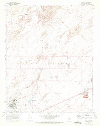
1969 Map of Tuba City
USGS Topo · Published 1972About this map
Tuba City serves as the focal point for this late 1960s survey within the Navajo Indian Reservation. The community is shown in significant detail, featuring a Hospital, High School, and essential services like the Police Station and Fire Station. To the south, industrial and community infrastructure appears through the Rare Metals site, a Sewage Disposal Pond, and the nearby Rodeo Grounds.
Find a feature on this map
47 named features on this map. Tap any name to fly to it.
Don’t see what you’re looking for? This feature index may not catch every label — zoom into the map to look around manually.
Map Details
Editions of this 1969 Tuba City Map
This is the sole edition of this map. No revisions or reprints were ever made.
Other maps of this area

1886 · Echo Cliffs
USGS Topo · 1:250,000

1891 · Echo Cliffs
USGS Topo · 1:250,000

1956 · Marble Canyon
USGS Topo · 1:250,000

1959 · Marble Canyon
USGS Topo · 1:250,000

1961 · Marble Canyon
USGS Topo · 1:250,000
1969 · Tuba City SE
USGS Topo · 1:24,000
1969 · Tuba City NE
USGS Topo · 1:24,000
1969 · Moenkopi
USGS Topo · 1:24,000
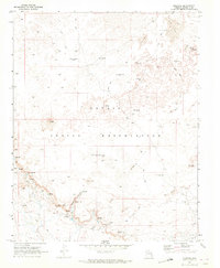
1969 · Moenave
USGS Topo · 1:24,000
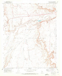
1969 · Moenave SE
USGS Topo · 1:24,000