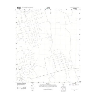
2012 Map of Tubbs Corner
USGS Topo · Published 2012About this map
Tubbs Corner serves as the focal point for this section of Crane County, where the Permian Basin's energy landscape is clearly etched into the West Texas terrain. The map reveals an intricate network of industrial access roads and pipelines supporting the extraction economy of the early 21st century. Prominent energy operations including the Sand Hills Oil Field and the Lea Oil Field dominate the northern and central regions, while the Sand Hills South Oil Field extends toward the settlement of Barnsley in the west.
Find a feature on this map
13 named features on this map. Tap any name to fly to it.
Don’t see what you’re looking for? This feature index may not catch every label — zoom into the map to look around manually.
Map Details
Editions of this 2012 Tubbs Corner Map
This is the sole edition of this map. No revisions or reprints were ever made.
Other maps of this area

1928 · Crane
USGS Topo · 1:125,000

1954 · Pecos
USGS Topo · 1:250,000

1957 · Pecos
USGS Topo · 1:250,000

1964 · Doodle Bug Well
USGS Topo · 1:24,000

1964 · Penwell SW
USGS Topo · 1:24,000

1964 · Penwell SE
USGS Topo · 1:24,000

1974 · Tubbs Corner
USGS Topo · 1:24,000

1974 · Crane SW
USGS Topo · 1:24,000

1974 · Juan Cordona Lake
USGS Topo · 1:24,000
1974 · Crane NW
USGS Topo · 1:24,000