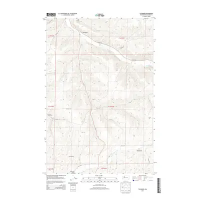
2013 Map of Tucannon
USGS Topo · Published 2013About this map
Tucannon River and its accompanying Tucannon settlement anchor this Washington landscape, where the water flows through deep drainages in the southeastern corner of the state. The 2013 topography reveals a network of hollows and creeks, including the significant Whetstone Cr valley and the smaller Willow Cr. Settlement patterns are defined by these natural corridors, with small communities like Whetstone and Tucannon established near the water sources. A legacy of early land development is visible in the naming of topographical features such as Smith Hollow and Johnson Holw, reflecting the families who once worked these lands. The road network remains grounded in historical routes, notably the aptly named Territorial Rd and Whetstone Rd, while the Harmony Community Hall serves as a lone landmark in the western portion of the quadrangle.
Find a feature on this map
30 named features on this map. Tap any name to fly to it.
Don’t see what you’re looking for? This feature index may not catch every label — zoom into the map to look around manually.
Map Details
Editions of this 2013 Tucannon Map
This is the sole edition of this map. No revisions or reprints were ever made.
Other maps of this area

1919 · Walla Walla
USGS Topo · 1:125,000

1921 · Walla Walla
USGS Topo · 1:125,000

1937 · Pomeroy
USGS Topo · 1:96,000

1942 · Pomeroy
USGS Topo · 1:125,000

1948 · Starbuck
USGS Topo · 1:62,500

1950 · Starbuck
USGS Topo · 1:62,500

1950 · Hay
USGS Topo · 1:62,500

1952 · Hay
USGS Topo · 1:62,500

1953 · Walla Walla
USGS Topo · 1:250,000

1955 · Pullman
USGS Topo · 1:250,000