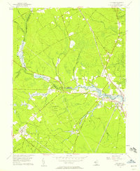
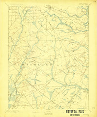
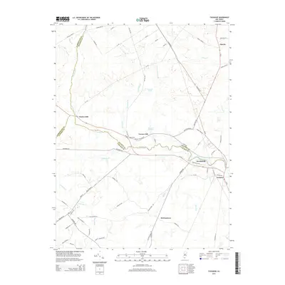
1956 Map of Tuckahoe
USGS Topo · Published 1957About this map
The Tuckahoe River carves a serpentine path through the heart of this mid-century New Jersey landscape, defining the boundaries between Atlantic, Cape May, and Cumberland counties. The river valley is punctuated by several small, established settlements such as Tuckahoe, Marshallville, and Corbin City, where the proximity to the water historically drove the local economy. To the south and west, the dense woodlands of the Belleplain State Forest dominate the terrain, a contrast to the marshy lowlands of the Tuckahoe State Fishing and Hunting Grounds further east.
Find a feature on this map
76 named features on this map. Tap any name to fly to it.
Don’t see what you’re looking for? This feature index may not catch every label — zoom into the map to look around manually.
Map Details
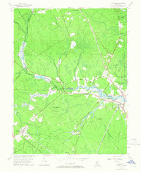
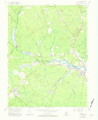
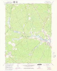
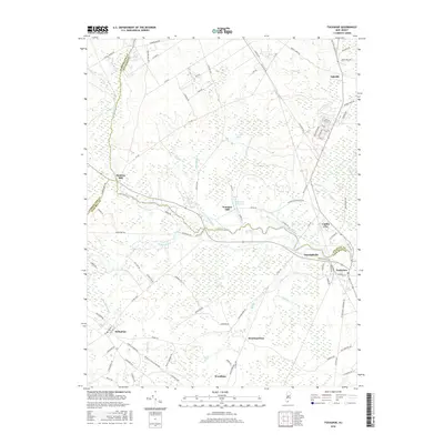
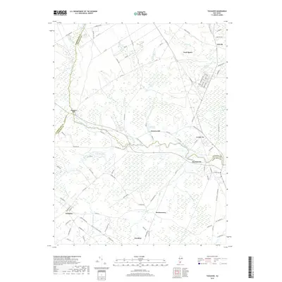
Editions of this 1956 Tuckahoe Map
5 editions found
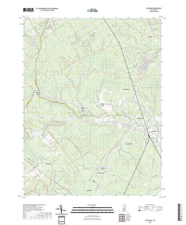
Historical Maps of Upper Township Through Time
11 maps found

1890 Tuckahoe
Cape May County, NJ
1893 Tuckahoe
Cape May County, NJ

1918 Tuckahoe
Cape May County, NJ

1941 Tuckahoe
Cape May County, NJ
1956 Tuckahoe
Cape May County, NJ
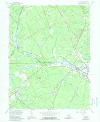
1994 Tuckahoe
Cape May County, NJ
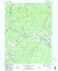
2011 Tuckahoe
Cape May County, NJ
2014 Tuckahoe
Cape May County, NJ
2016 Tuckahoe
Cape May County, NJ
2019 Tuckahoe
Cape May County, NJ
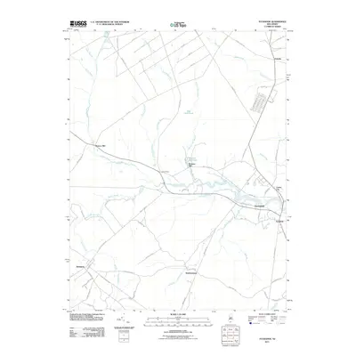
2023 Tuckahoe
Cape May County, NJ