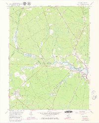
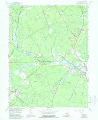
1956 Map of Tuckahoe
USGS Topo · Published 1979About this map
Tuckahoe and Marshallville sit at the center of this 1950s coastal plain landscape, where the Tuckahoe River winds through the wetlands of southern New Jersey. The map documents a rural economy tied to the land and water, featuring several Cranberry Bogs and the extensive Belleplain State Forest to the south. Transportation is defined by the Pennsylvania-Reading Seashore Lines, which connects small settlements like Oakville and Woodbine through the Pine Barrens environment. A distinct network of family-named roads, such as Steelmantown Road and Black John Rd, provides valuable data for genealogists tracing property and movement between Cumberland and Cape May Counties. From the Lookout Tower near Belleplain to the tidal reaches near Corbin City, the map preserves the mid-century layout of this tidewater region.
Find a feature on this map
59 named features on this map. Tap any name to fly to it.
Don’t see what you’re looking for? This feature index may not catch every label — zoom into the map to look around manually.
Map Details
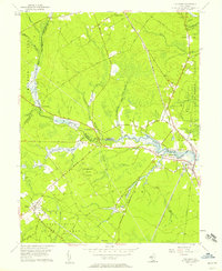
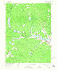
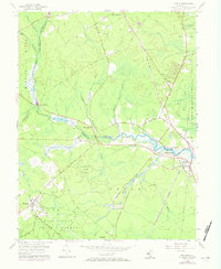
Editions of this 1956 Tuckahoe Map
5 editions found
Other maps of this area

1884 · Sea Isle
USGS Topo · 1:62,500

1888 · Dennisville
USGS Topo · 1:62,500

1888 · Sea Isle
USGS Topo · 1:62,500

1890 · Great Egg Harbor
USGS Topo · 1:62,500

1890 · Tuckahoe
USGS Topo · 1:62,500

1893 · Great Egg Harbor
USGS Topo · 1:62,500

1893 · Tuckahoe
USGS Topo · 1:62,500

1894 · Dennisville
USGS Topo · 1:62,500

1894 · Sea Isle
USGS Topo · 1:62,500

1918 · Great Egg Harbor
USGS Topo · 1:62,500