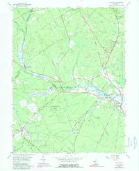
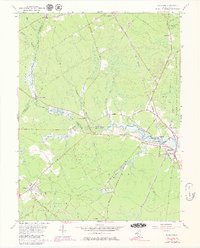
1956 Map of Tuckahoe
USGS Topo · Published 1989About this map
The Tuckahoe River serves as the central artery for this region, winding past Marshallville and Tuckahoe where it defines the boundary between Atlantic and Cape May counties. During the mid-twentieth century, this landscape was characterized by a dense network of wooded reserves and riparian corridors, including the Belleplain State Forest and the Tuckahoe State Fishing and Hunting Grounds. The Pennsylvania-Reading Seashore Lines provides a clear look at the era's rail infrastructure, cutting south toward Woodbine and Belleplain. Small rural communities like Steelmantown and Hunters Mill are documented alongside specialized features like a Lookout Tower and various Cranberry Bogs. This geography highlights the transition from managed forest and wetland to small riverside settlements, capturing the specific road layout of ways like Honest John Rd and Black John Rd before modern development patterns expanded.
Find a feature on this map
60 named features on this map. Tap any name to fly to it.
Don’t see what you’re looking for? This feature index may not catch every label — zoom into the map to look around manually.
Map Details
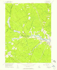
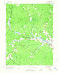
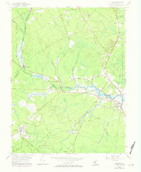
Editions of this 1956 Tuckahoe Map
5 editions found
Other maps of this area

1884 · Sea Isle
USGS Topo · 1:62,500

1888 · Dennisville
USGS Topo · 1:62,500

1888 · Sea Isle
USGS Topo · 1:62,500

1890 · Great Egg Harbor
USGS Topo · 1:62,500

1890 · Tuckahoe
USGS Topo · 1:62,500

1893 · Great Egg Harbor
USGS Topo · 1:62,500

1893 · Tuckahoe
USGS Topo · 1:62,500

1894 · Dennisville
USGS Topo · 1:62,500

1894 · Sea Isle
USGS Topo · 1:62,500

1918 · Great Egg Harbor
USGS Topo · 1:62,500