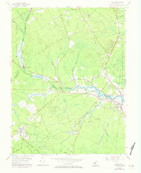
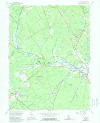
1956 Map of Tuckahoe
USGS Topo · Published 1973About this map
Tuckahoe and its surrounding marshlands are defined by the convergence of the Tuckahoe River and the Pennsylvania-Reading Seashore Lines. This mid-century survey reveals a landscape largely dedicated to conservation and small-scale industry, with the Belleplain State Forest and the Tuckahoe State Fishing and Hunting Grounds occupying large tracts of the southern and eastern territory. Settled areas like Steelmantown and Marshallville follow the winding paths of inland waterways, while the presence of a Gravel Pit and scattered Cranberry Bogs near Belleplain hints at the local economy's reliance on natural resources.
Find a feature on this map
62 named features on this map. Tap any name to fly to it.
Don’t see what you’re looking for? This feature index may not catch every label — zoom into the map to look around manually.
Map Details
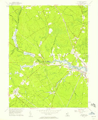
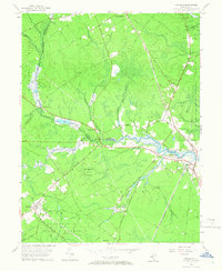
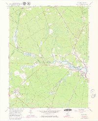
Editions of this 1956 Tuckahoe Map
5 editions found
Other maps of this area

1884 · Sea Isle
USGS Topo · 1:62,500

1888 · Dennisville
USGS Topo · 1:62,500

1888 · Sea Isle
USGS Topo · 1:62,500

1890 · Great Egg Harbor
USGS Topo · 1:62,500

1890 · Tuckahoe
USGS Topo · 1:62,500

1893 · Great Egg Harbor
USGS Topo · 1:62,500

1893 · Tuckahoe
USGS Topo · 1:62,500

1894 · Dennisville
USGS Topo · 1:62,500

1894 · Sea Isle
USGS Topo · 1:62,500

1918 · Great Egg Harbor
USGS Topo · 1:62,500