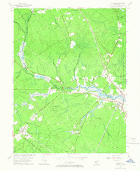
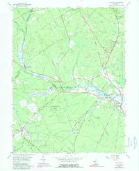
1956 Map of Tuckahoe
USGS Topo · Published 1966About this map
Tuckahoe and Corbin City serve as the primary hubs in this mid-century landscape where the Tuckahoe River winds through the coastal plains of South Jersey. The geography is defined by its extensive protected lands, including the dense Belleplain State Forest and the Tuckahoe State Fishing and Hunting Grounds, highlighting an era when the region transitioned from industrial extraction toward conservation and recreation. Transportation in the 1950s remained heavily influenced by the Pennsylvania-Reading Seashore Lines, which cuts a diagonal path through the map. Smaller crossroads such as Steelmantown, Marshallville, and the aptly named Head of River provide specific points of interest for genealogists tracking family settlements along the river's upper reaches. Numerous creeks, such as Stephens Creek and Cedar Creek, demonstrate the complex drainage patterns that shaped early sawmill and farming site selection in this part of Cape May and Atlantic Counties.
Find a feature on this map
57 named features on this map. Tap any name to fly to it.
Don’t see what you’re looking for? This feature index may not catch every label — zoom into the map to look around manually.
Map Details
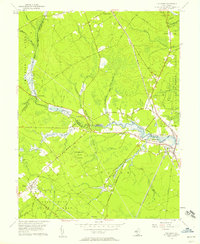
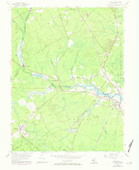
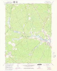
Editions of this 1956 Tuckahoe Map
5 editions found
Other maps of this area

1884 · Sea Isle
USGS Topo · 1:62,500

1888 · Dennisville
USGS Topo · 1:62,500

1888 · Sea Isle
USGS Topo · 1:62,500

1890 · Great Egg Harbor
USGS Topo · 1:62,500

1890 · Tuckahoe
USGS Topo · 1:62,500

1893 · Great Egg Harbor
USGS Topo · 1:62,500

1893 · Tuckahoe
USGS Topo · 1:62,500

1894 · Dennisville
USGS Topo · 1:62,500

1894 · Sea Isle
USGS Topo · 1:62,500

1918 · Great Egg Harbor
USGS Topo · 1:62,500